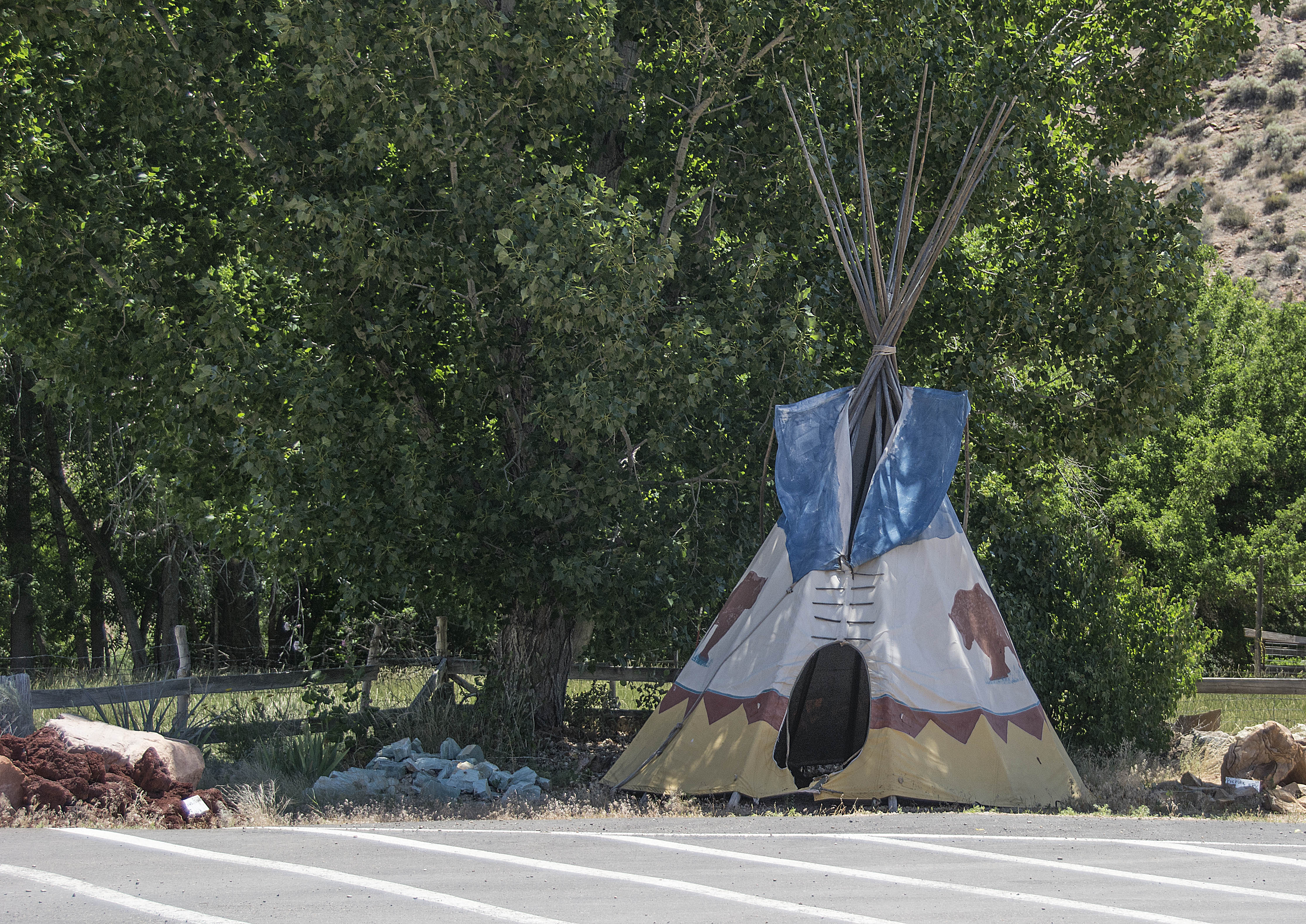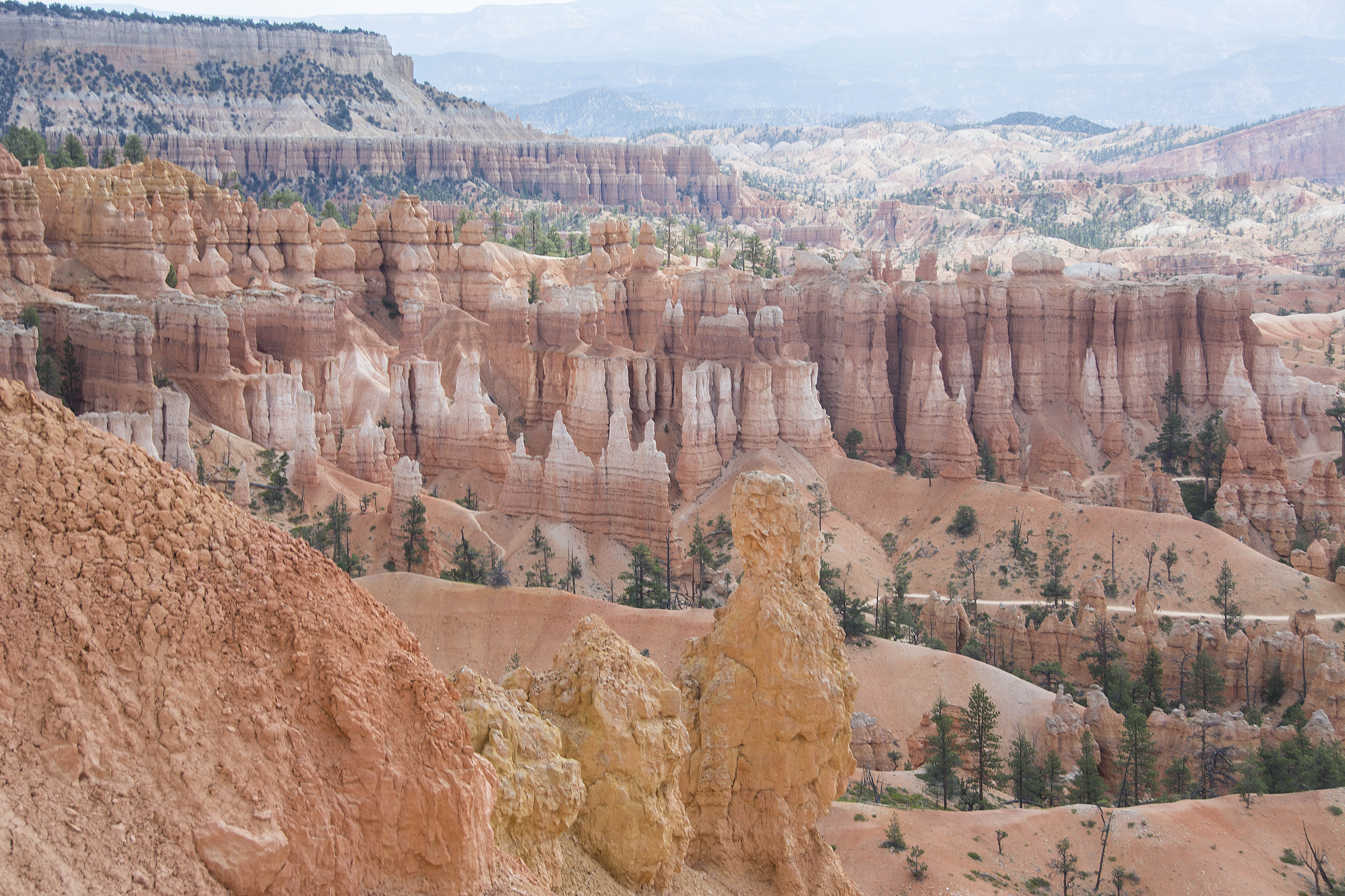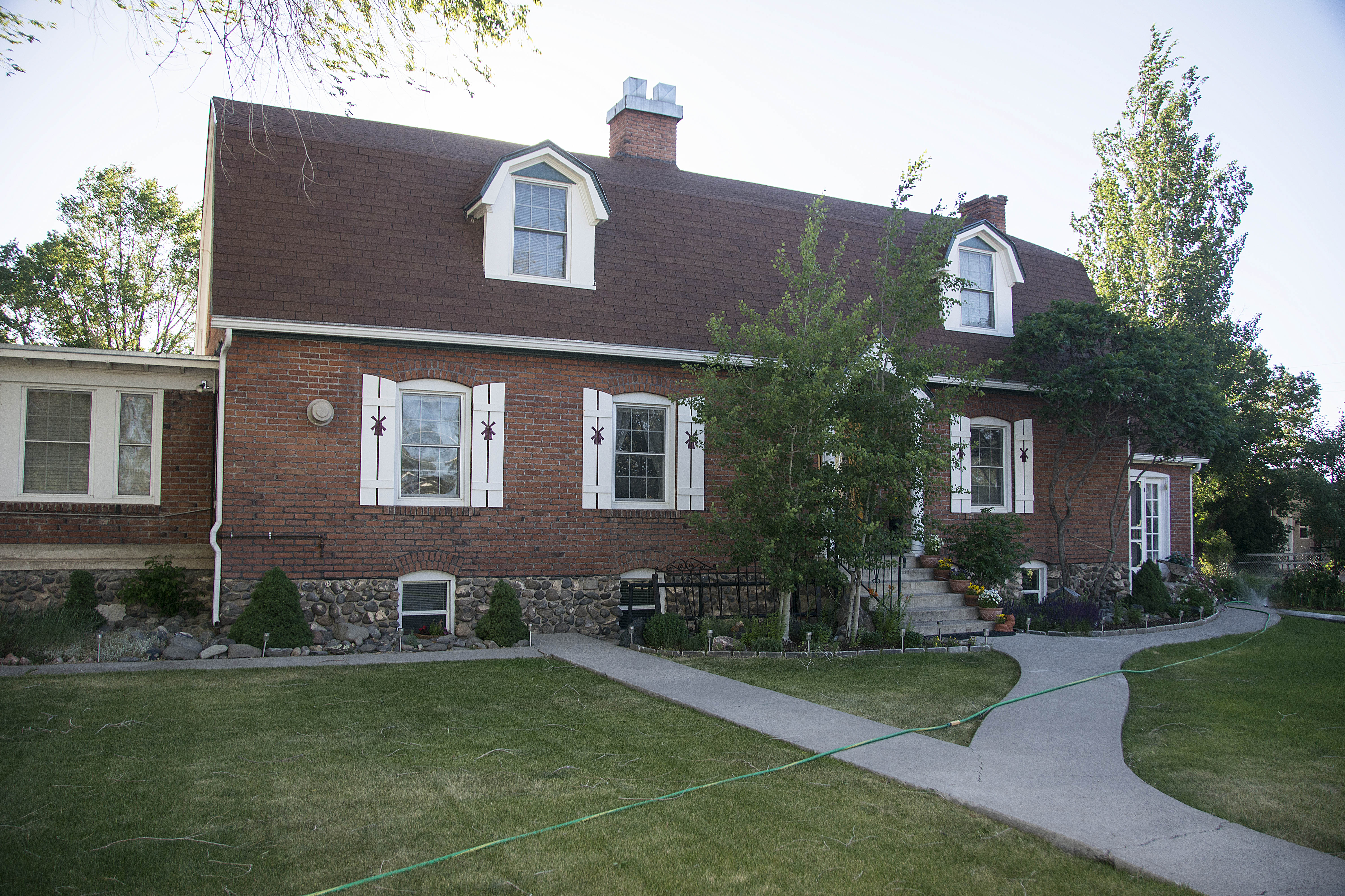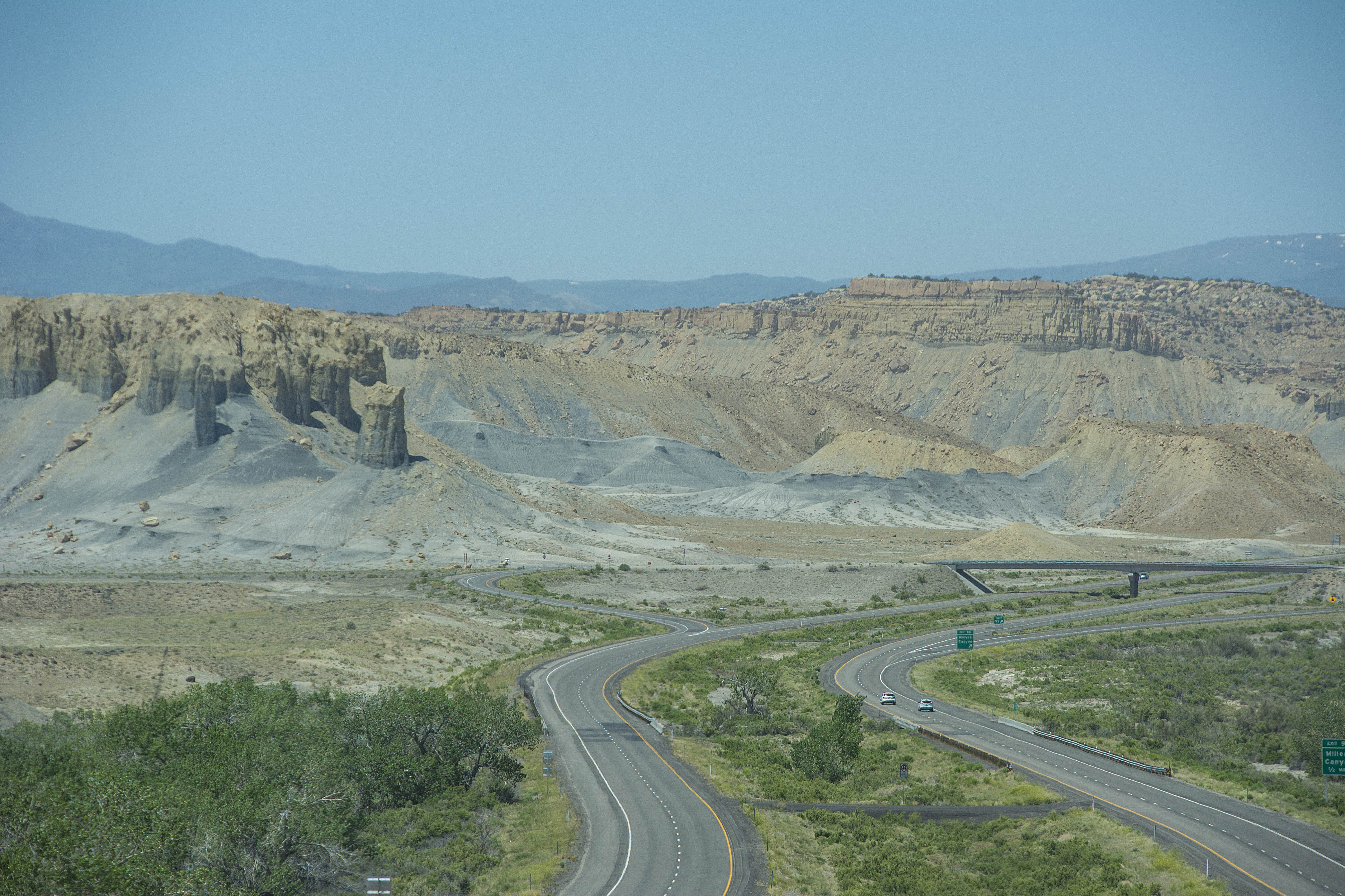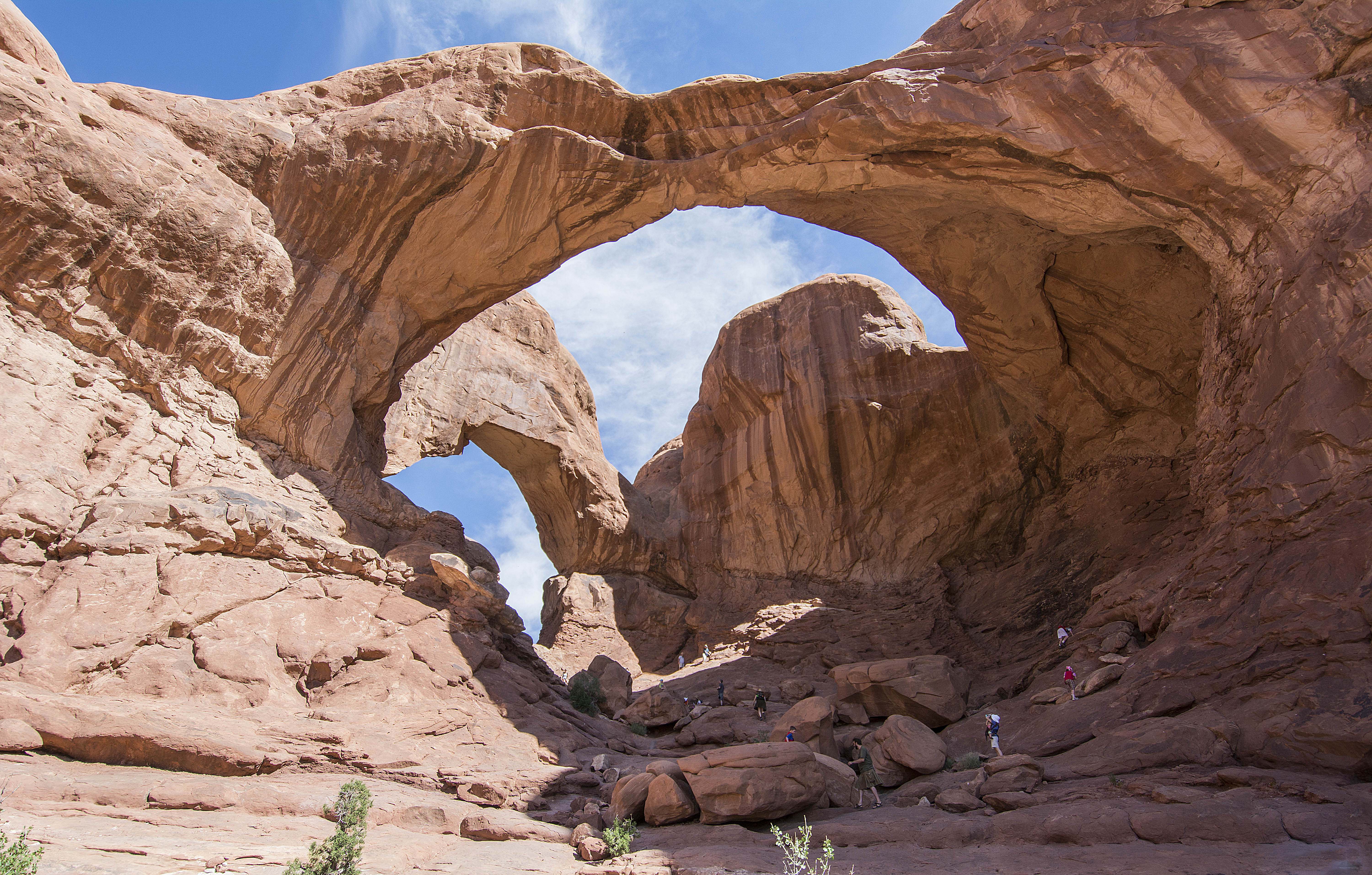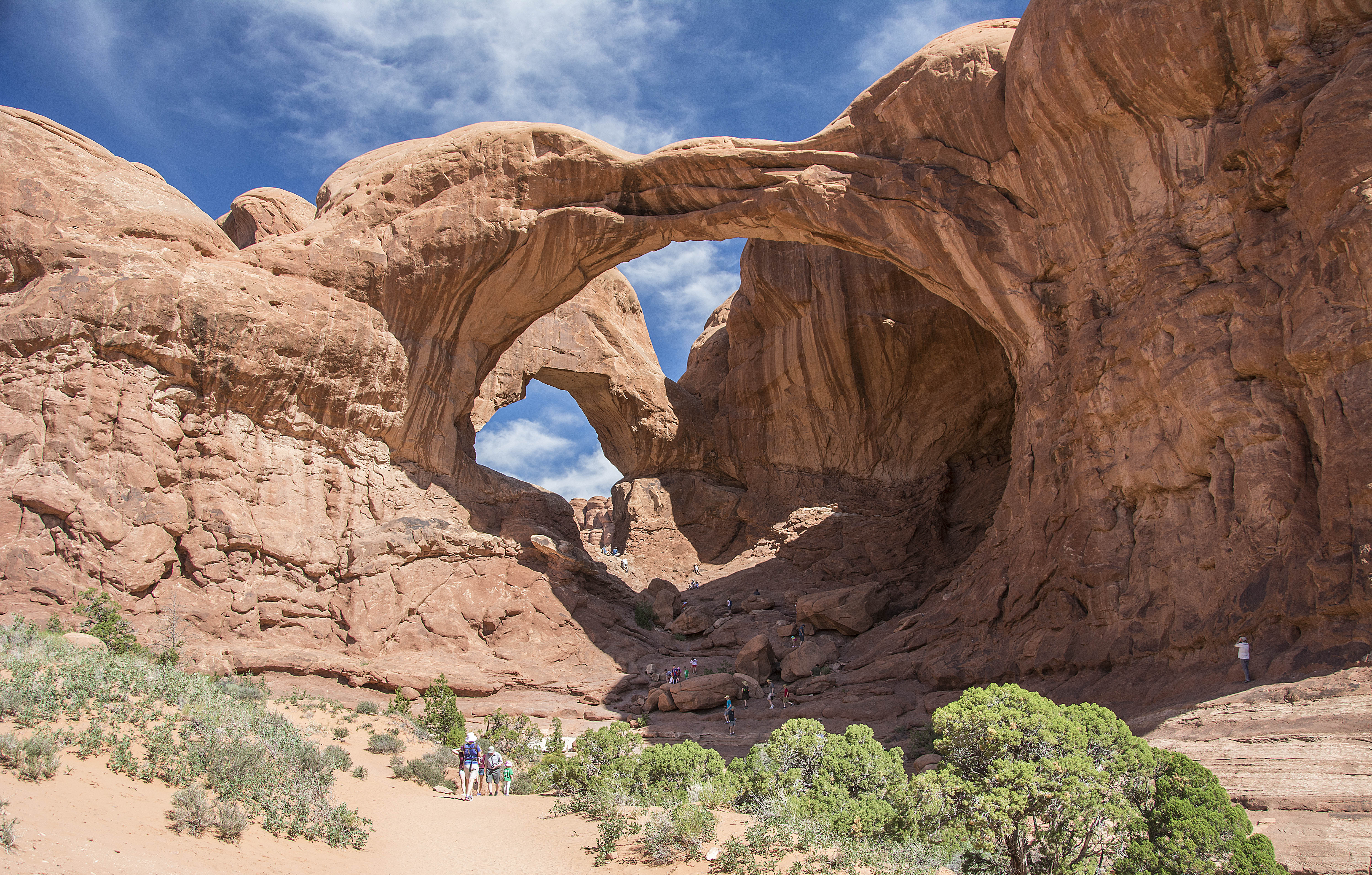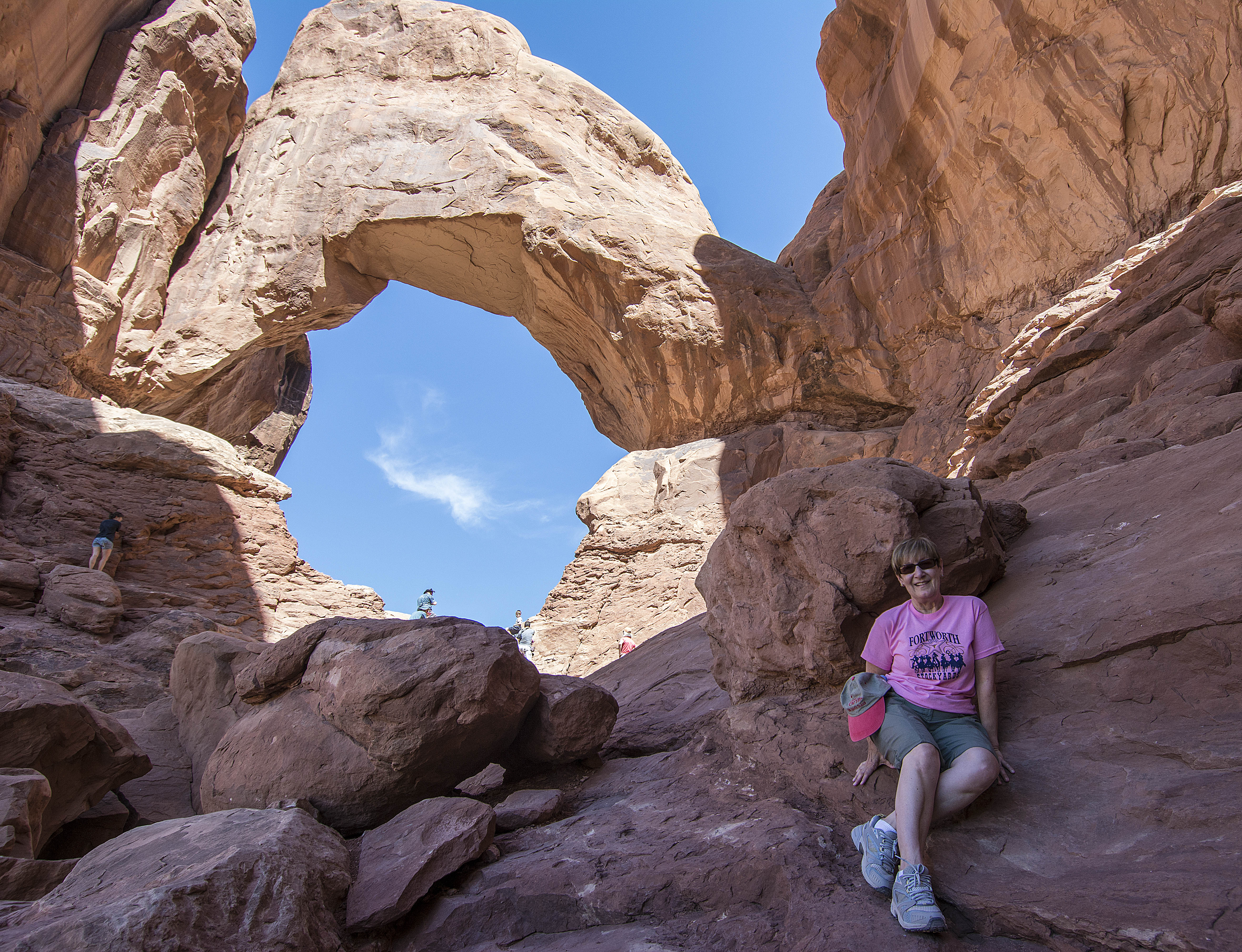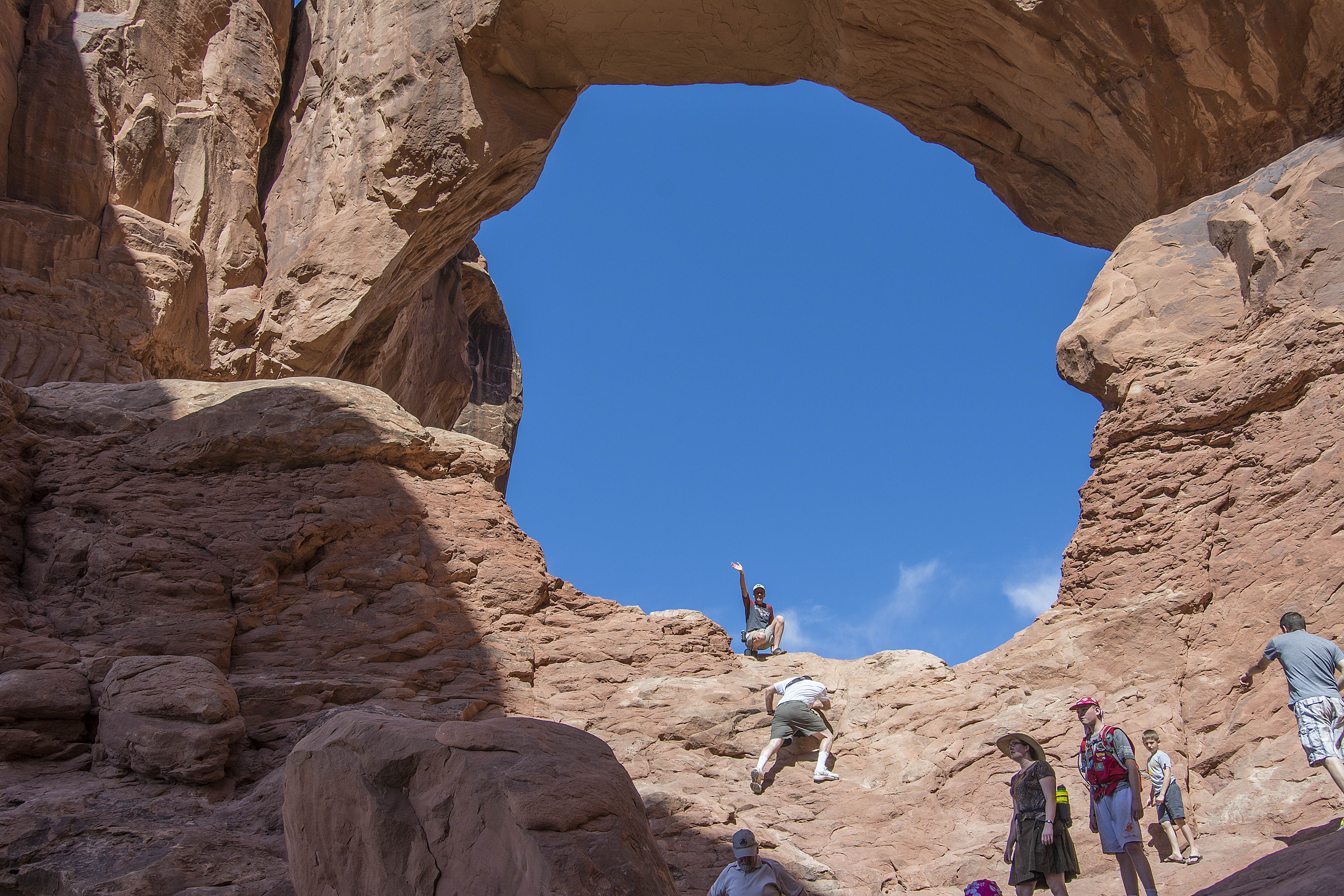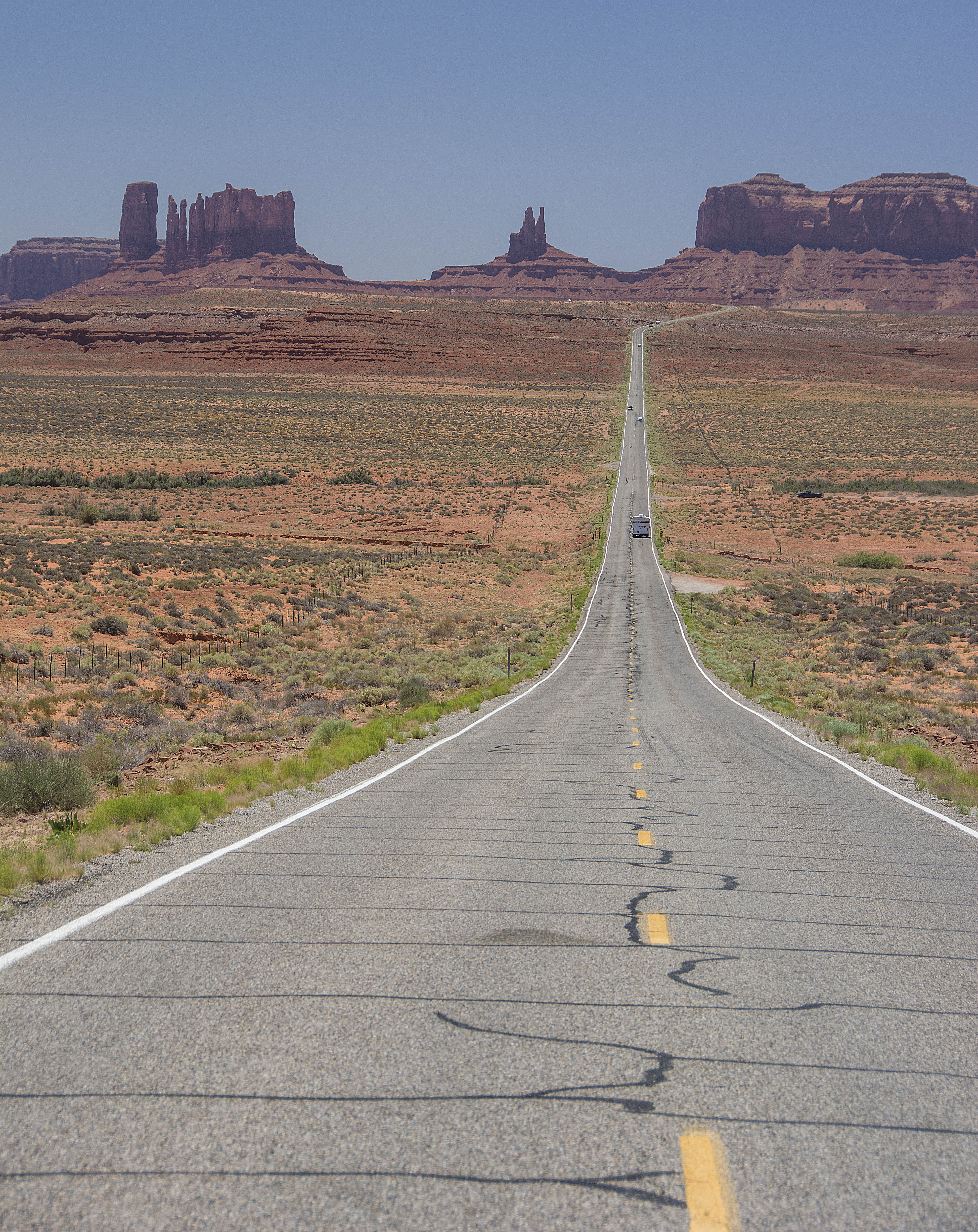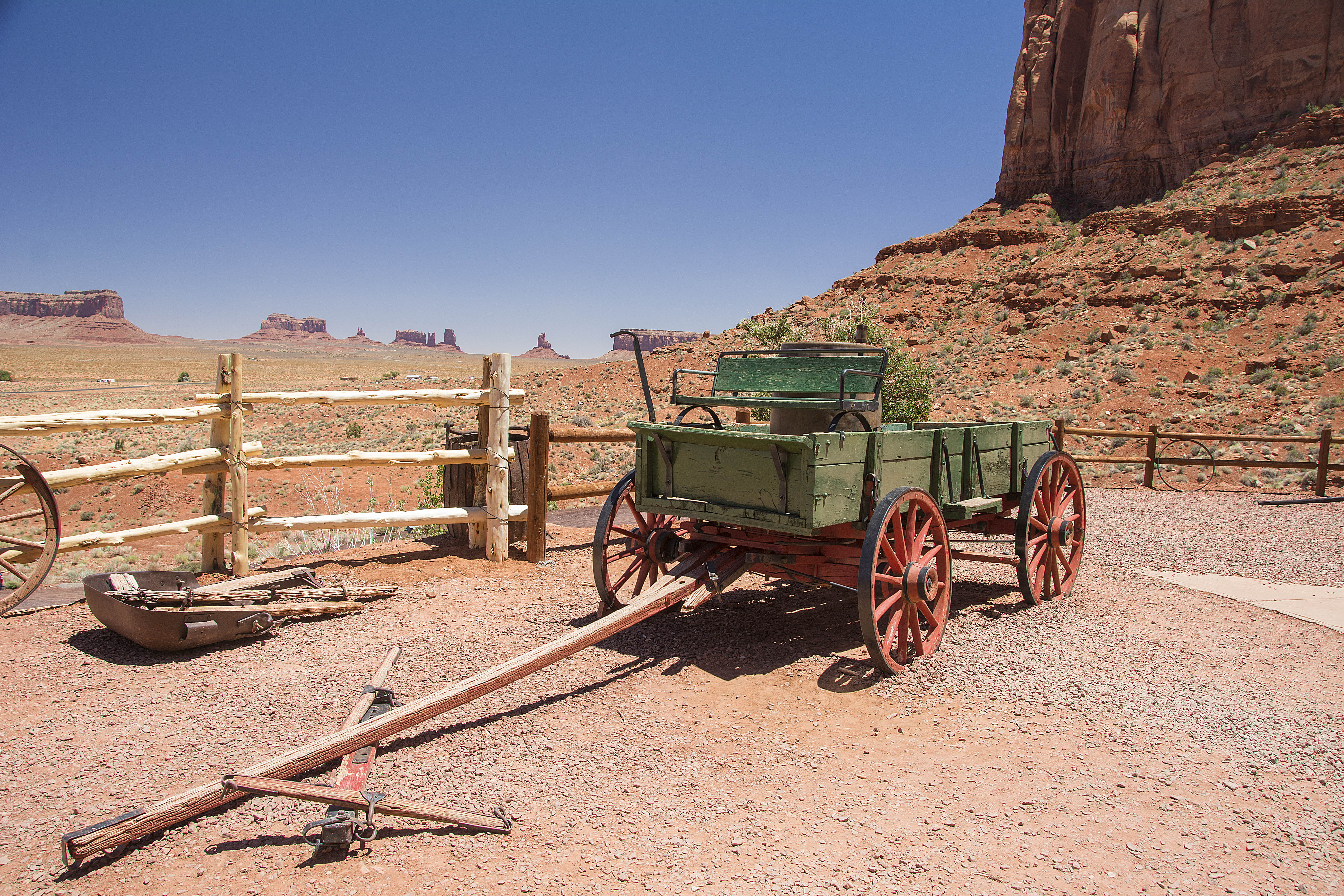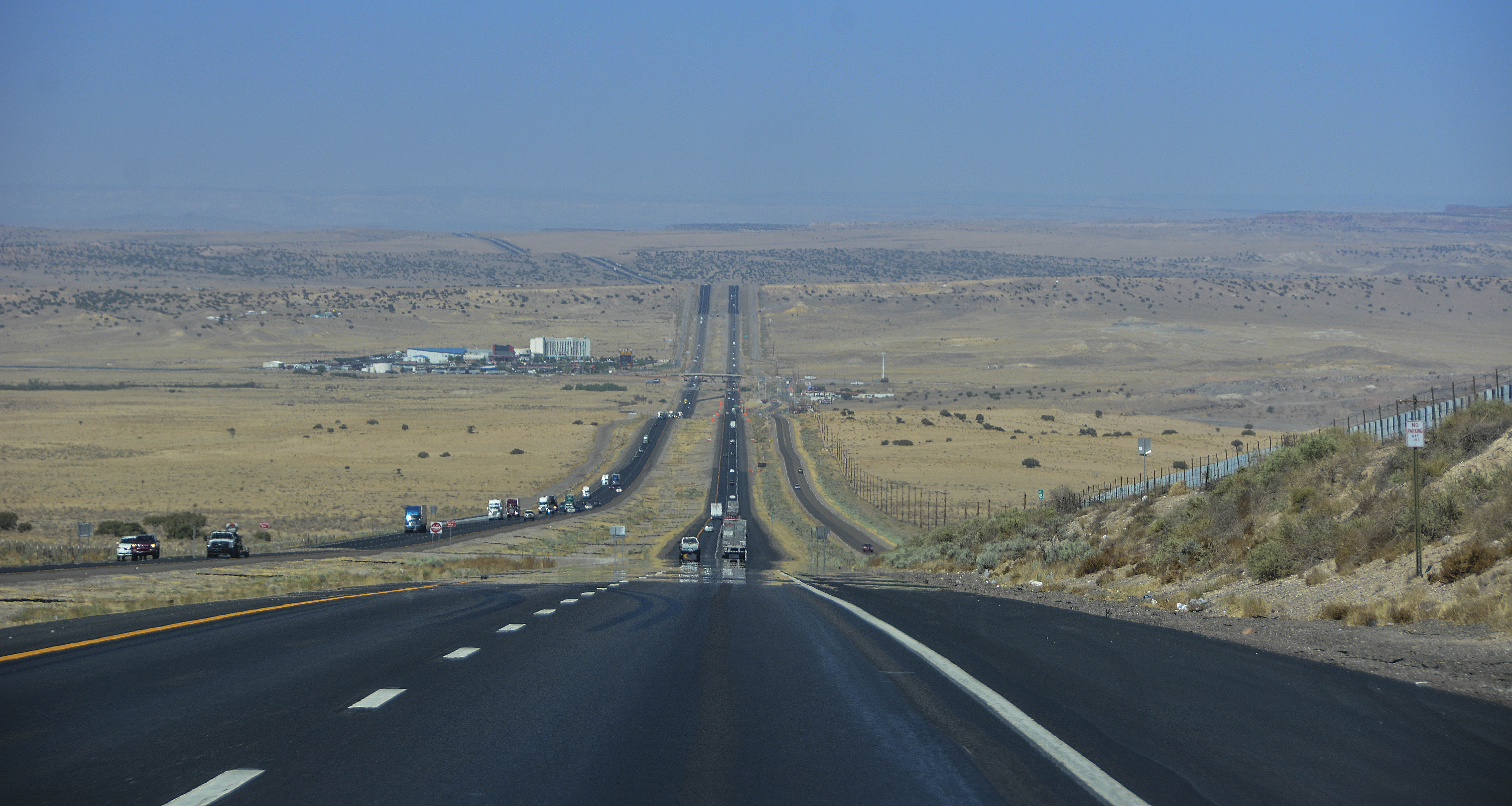
As today was mainly a ‘Twilight’ day I’m going to post all the photos on this page.
We left Portland bright and early as we wanted to visit a couple more Twilight sites. The weather has been fabulous today both down in Portland and up here in Forks. The temperature has been in the 90’s and we were told that summer arrived in Forks today … just in time for our arrival. Alas, that means we won’t be seeing any of the Cullens today!!

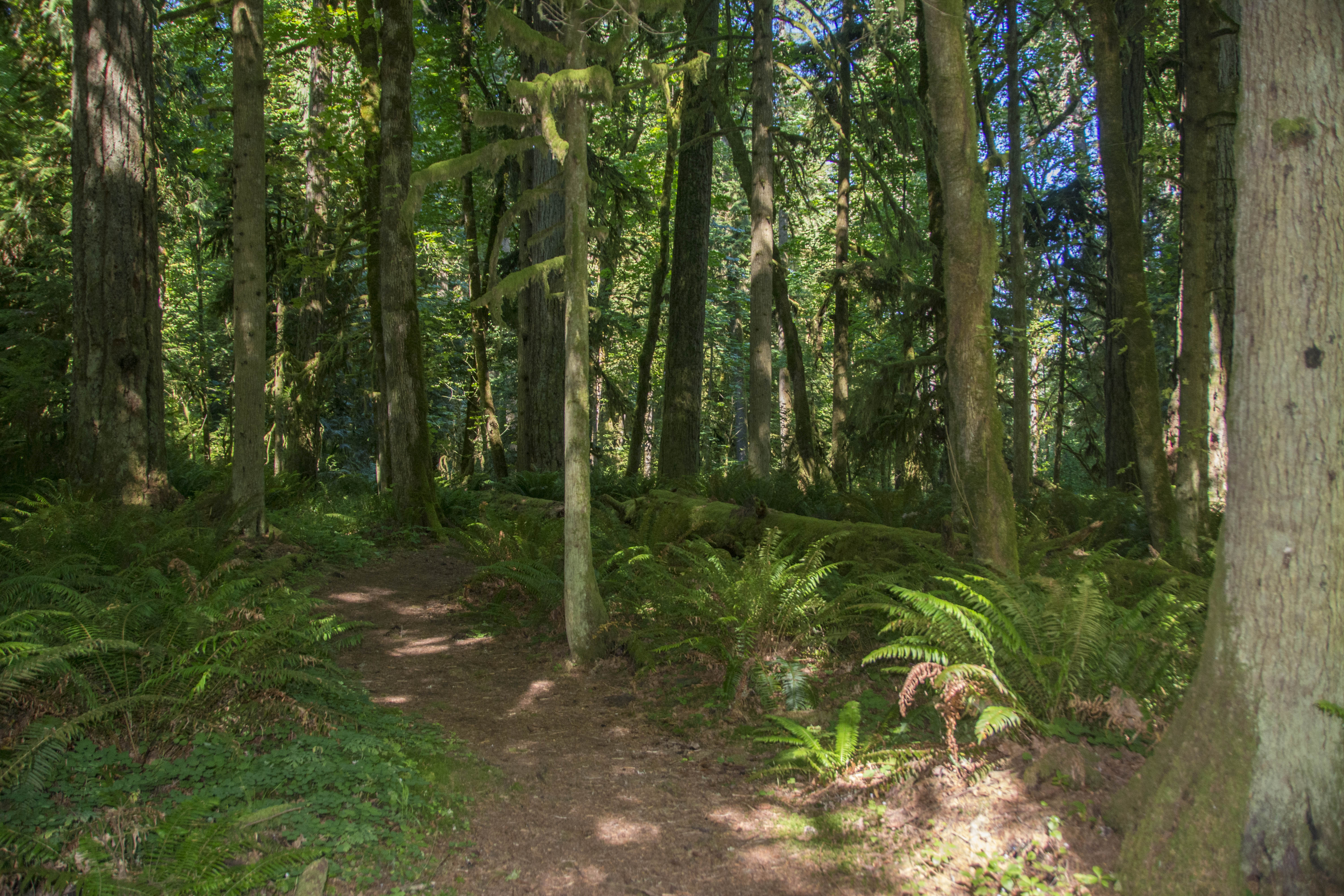
The yellow ribbon denoting where filming took place
Bella tells Edward she knows what he is ……. “Vampire”
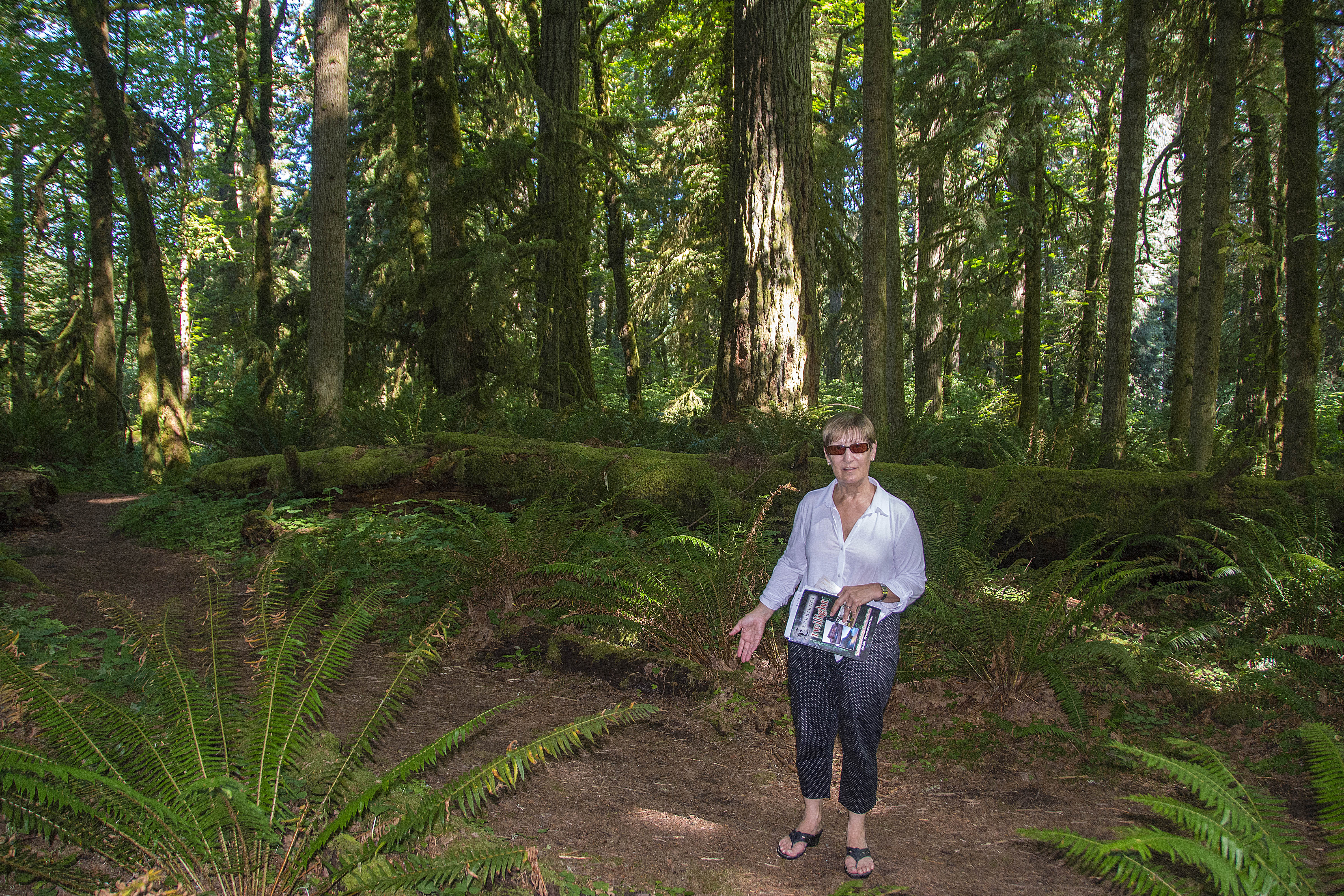
Sandra at the spot where Bella tells Edward she knows what he is …… a vampire!

Bella and Charlie’s House

Bella’s street outside her house

Bella’s road outside her house

Bloated Toad Restaurant, as was!

Jilly’s shop
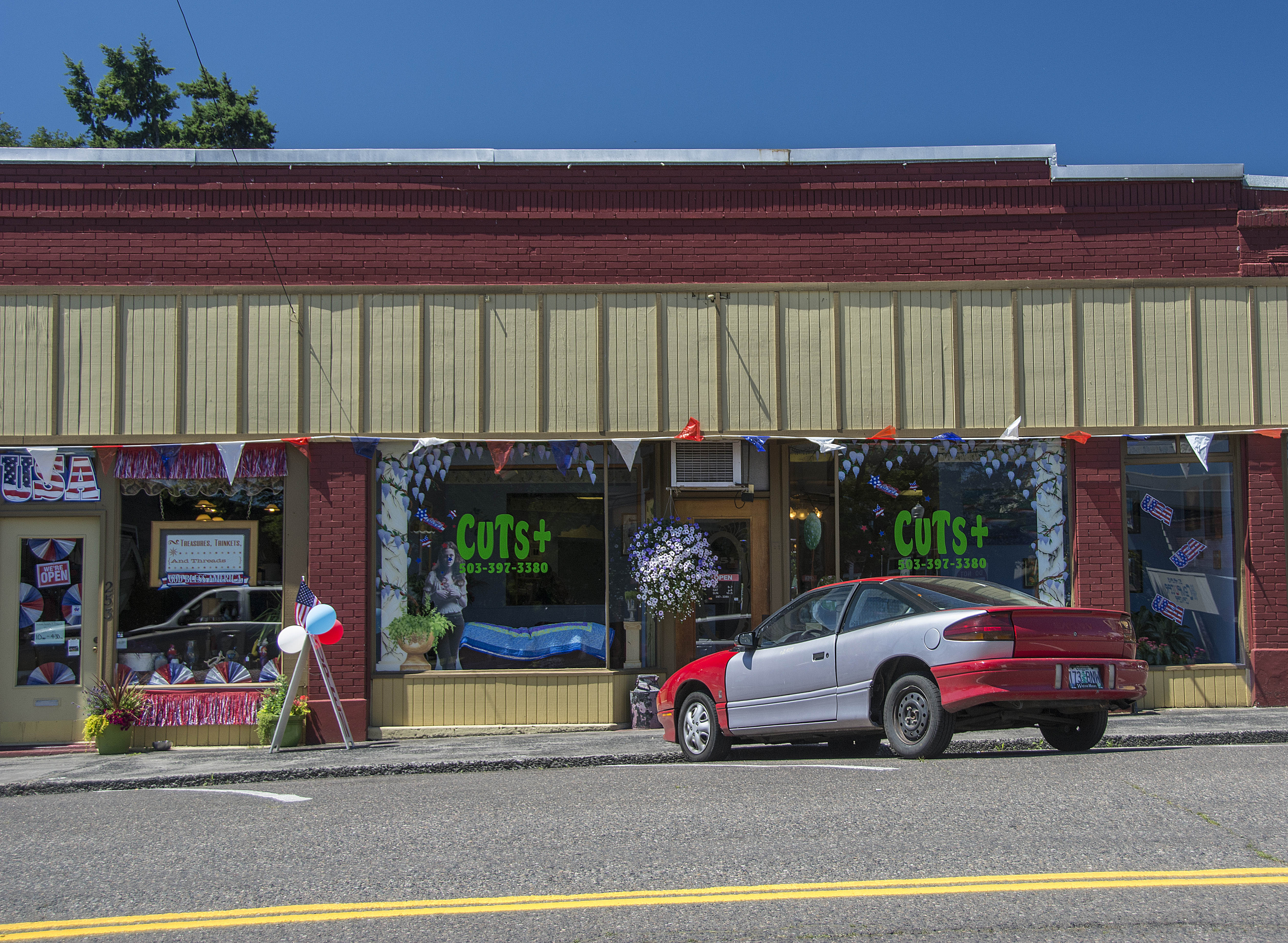
Cut’s
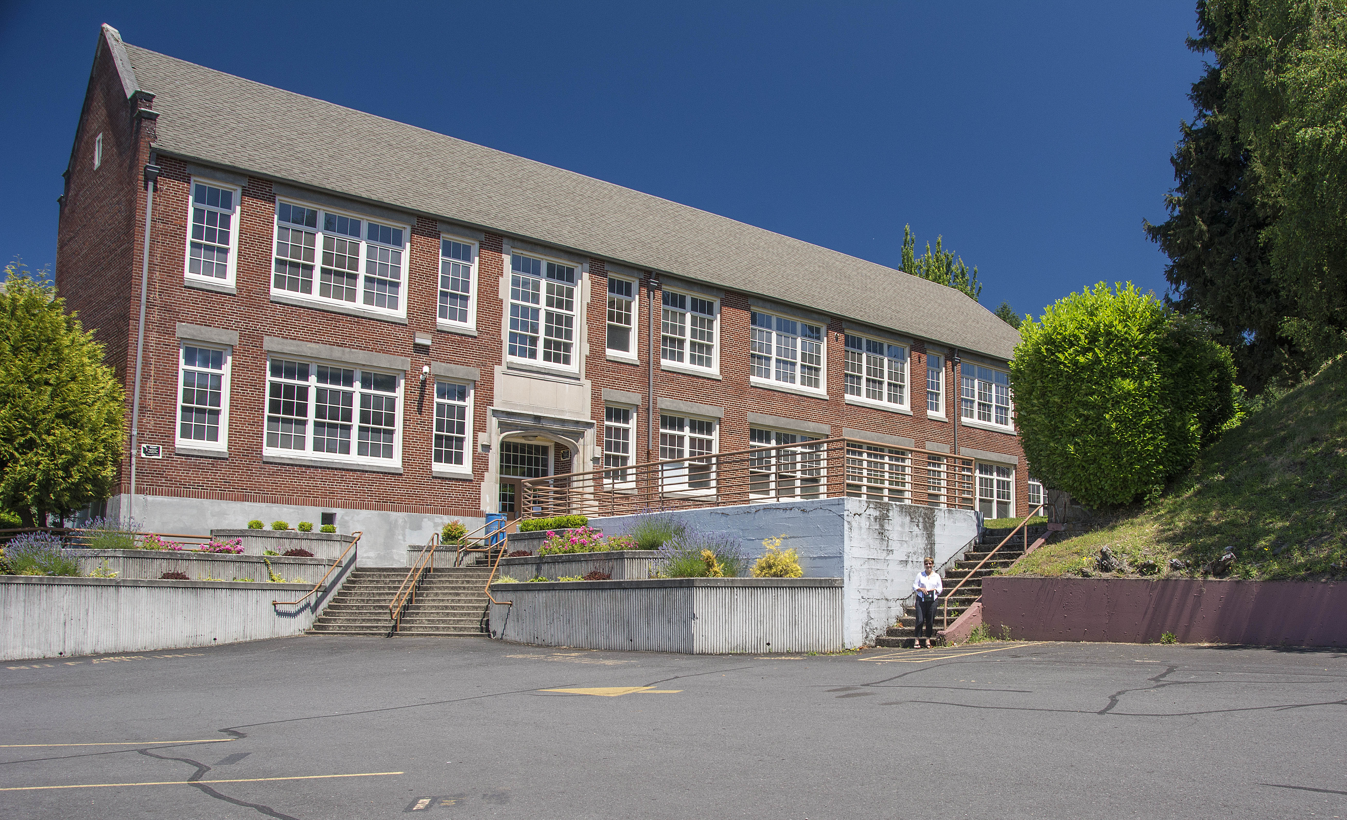
‘Forks’ High School’

Forks’ High School where Edward saved Bella from being crushed
Need I say more!

Well, I wonder who owns this then!!??
Funny sign!
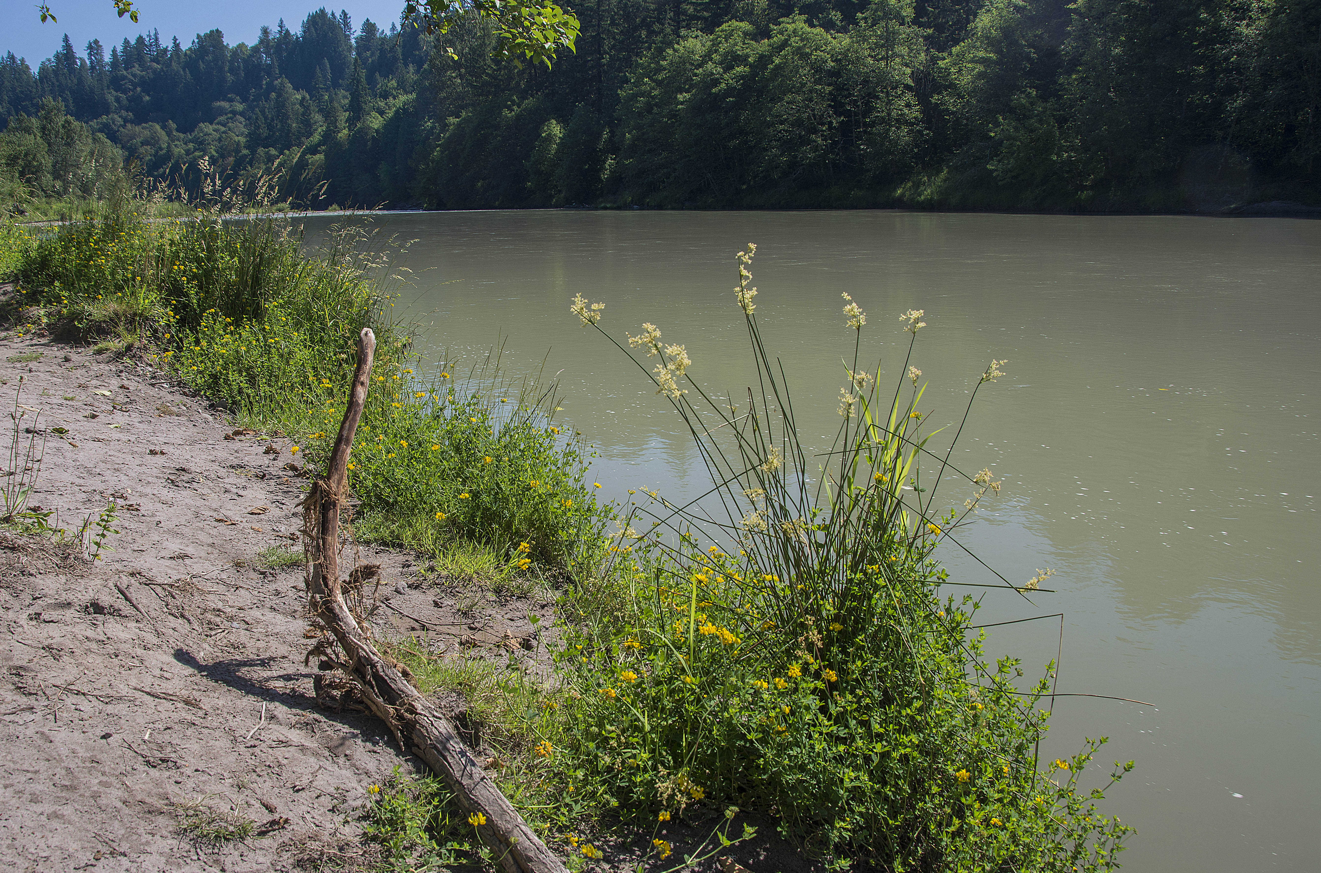
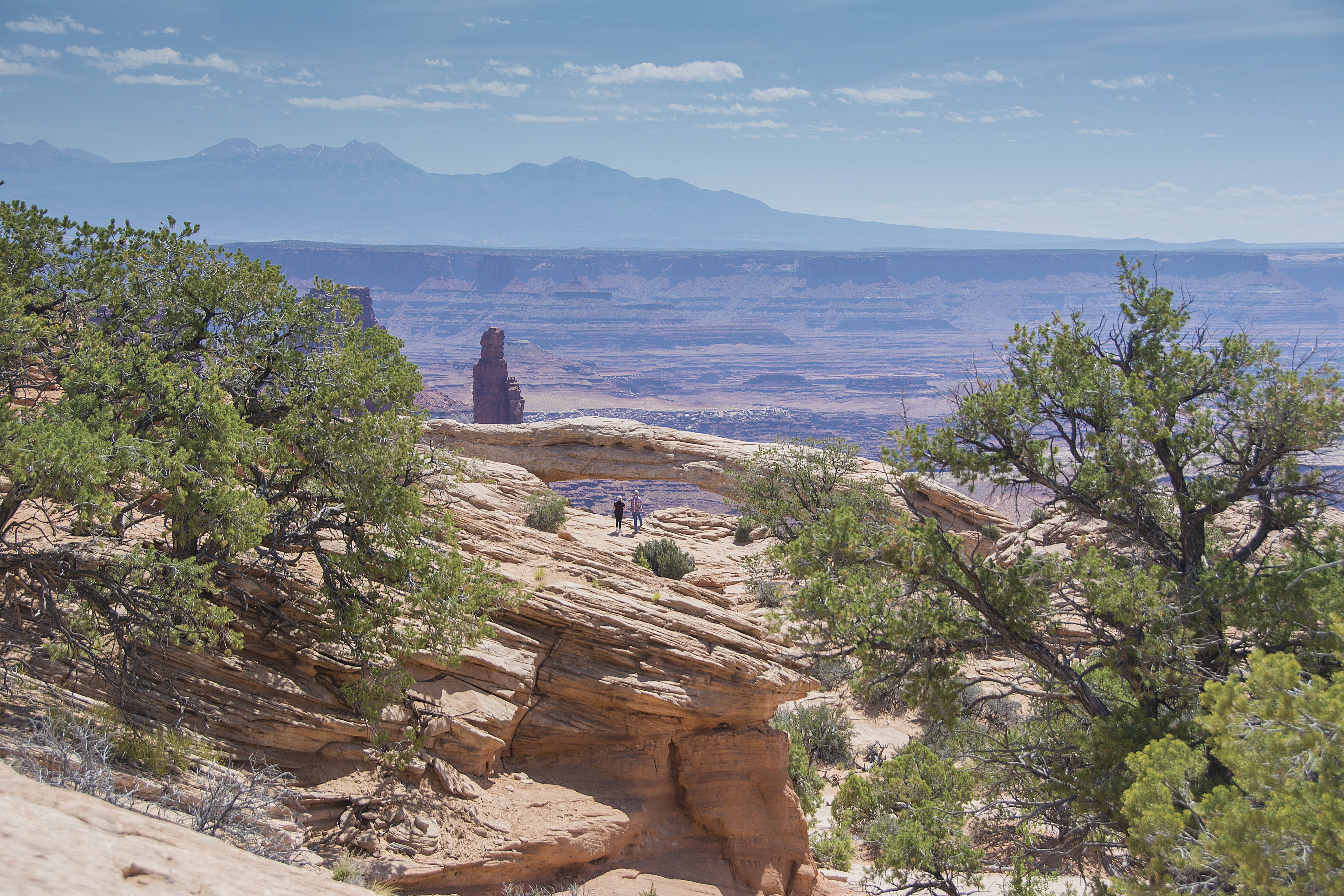
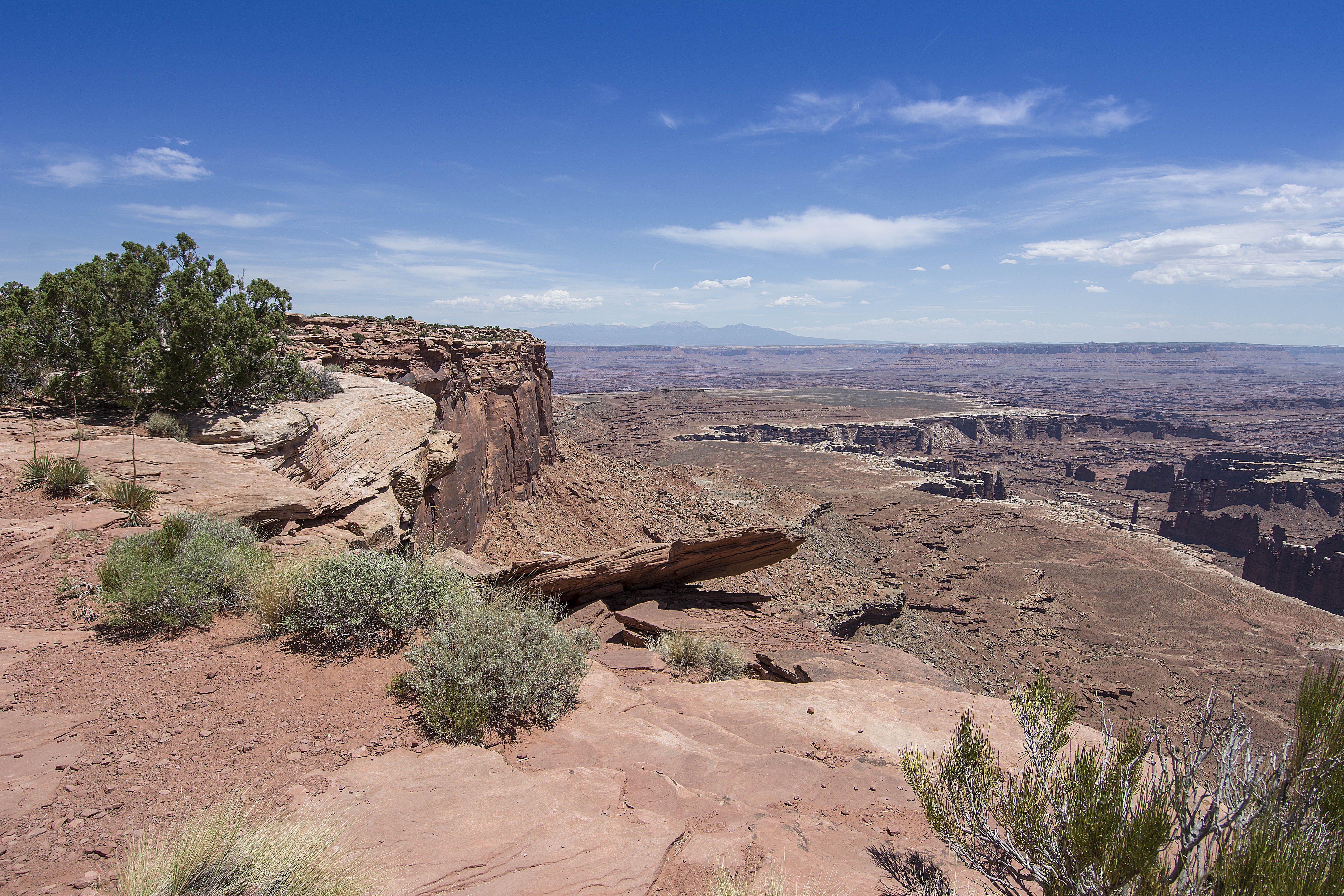
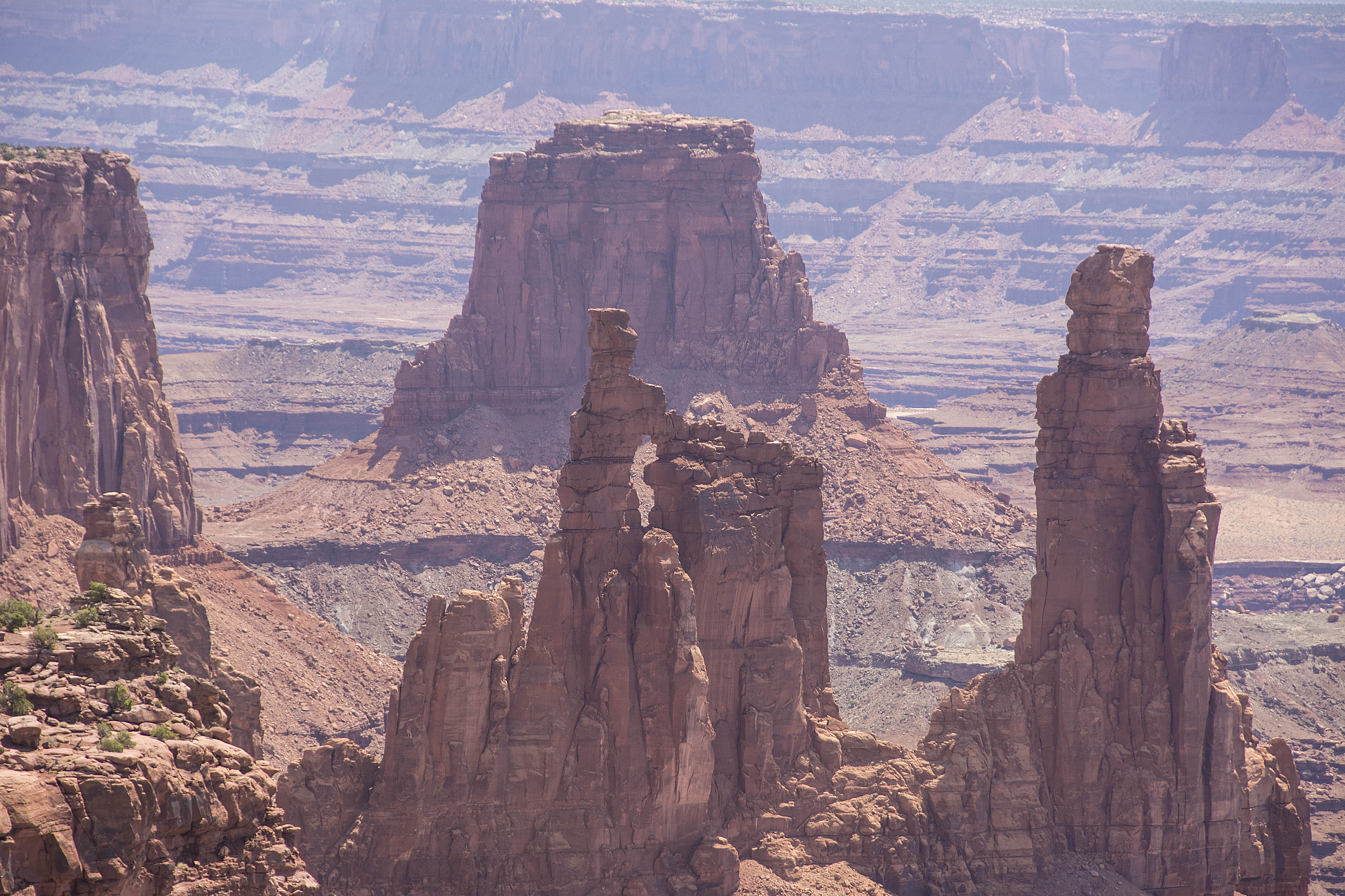
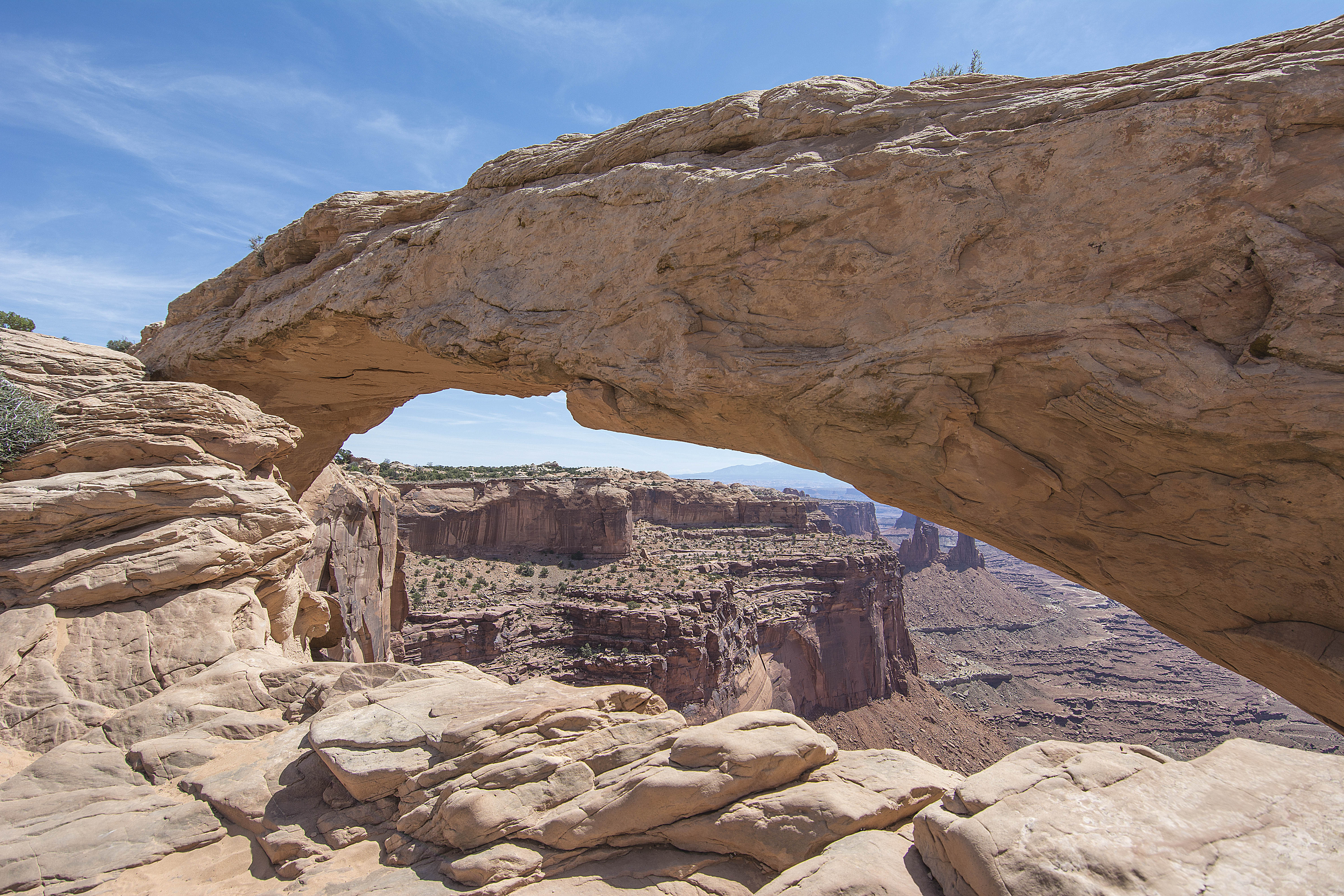
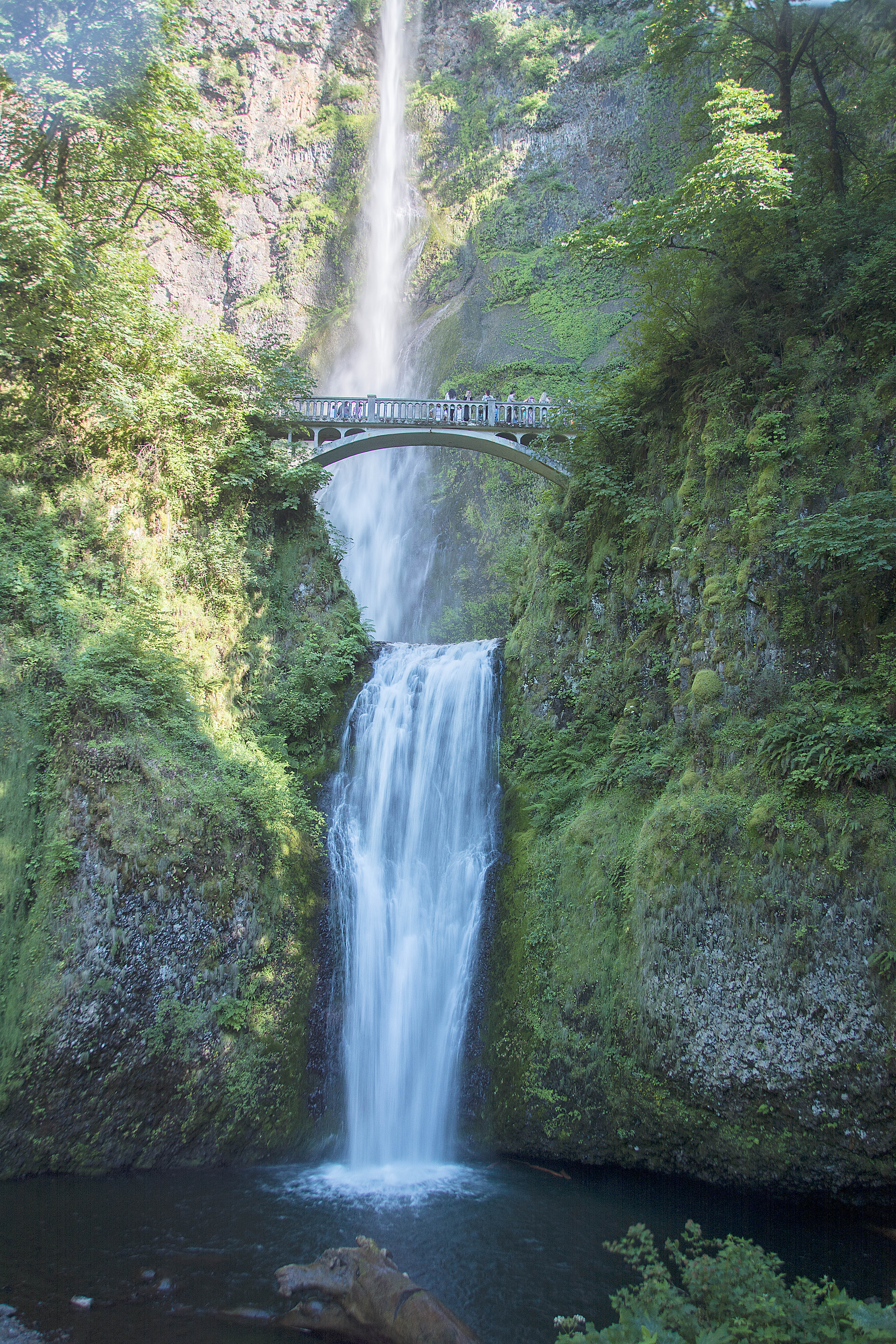
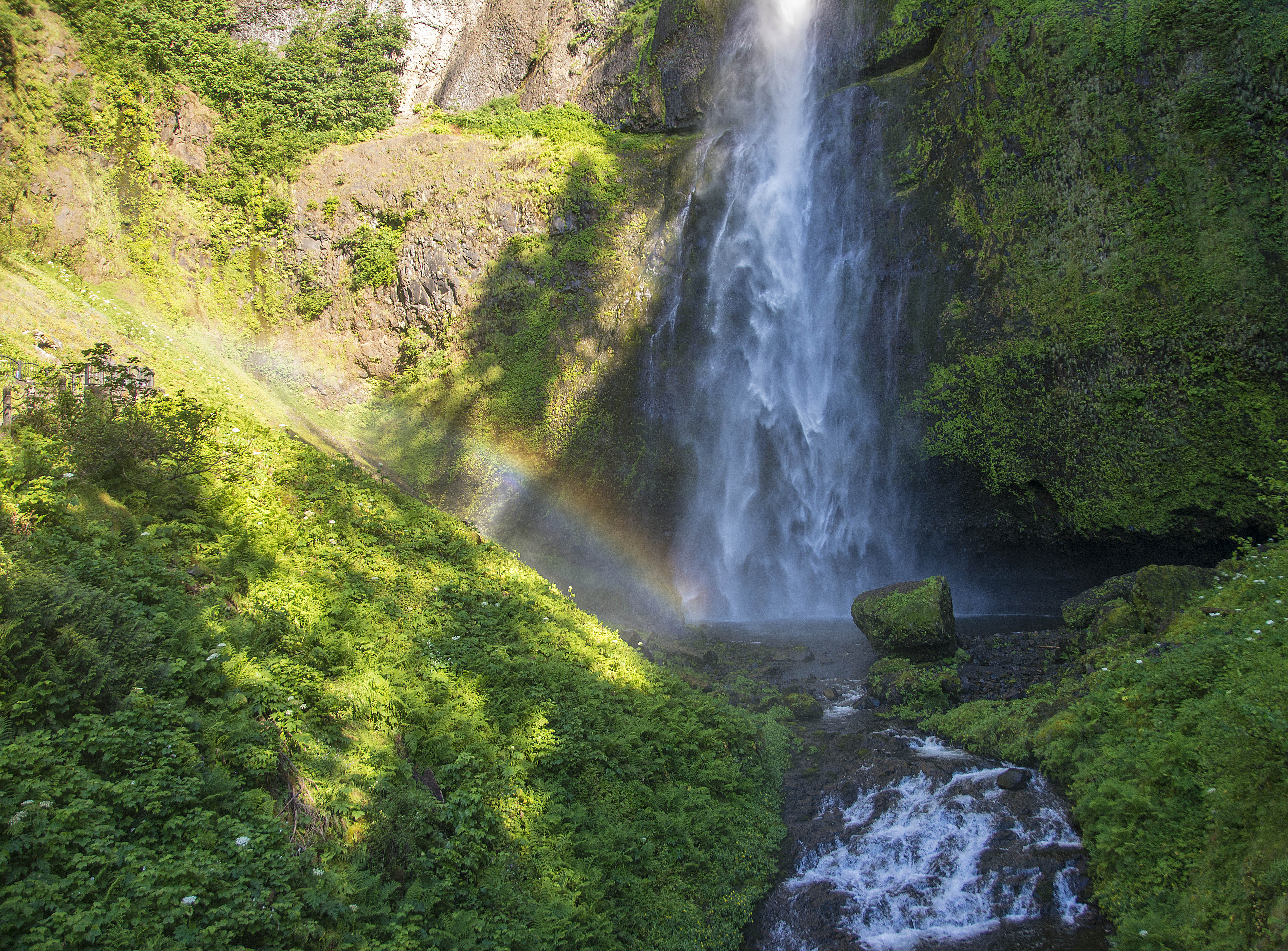
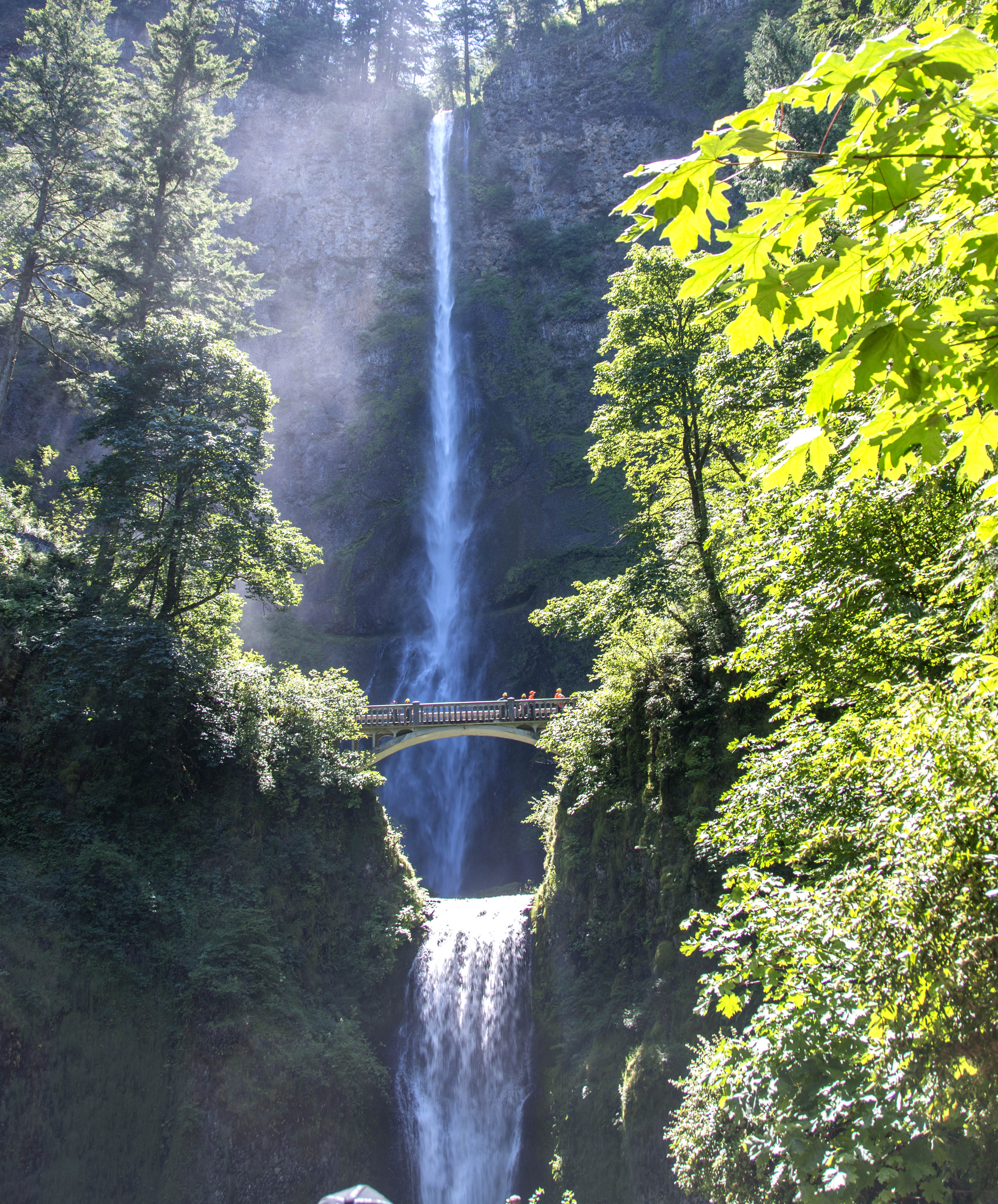
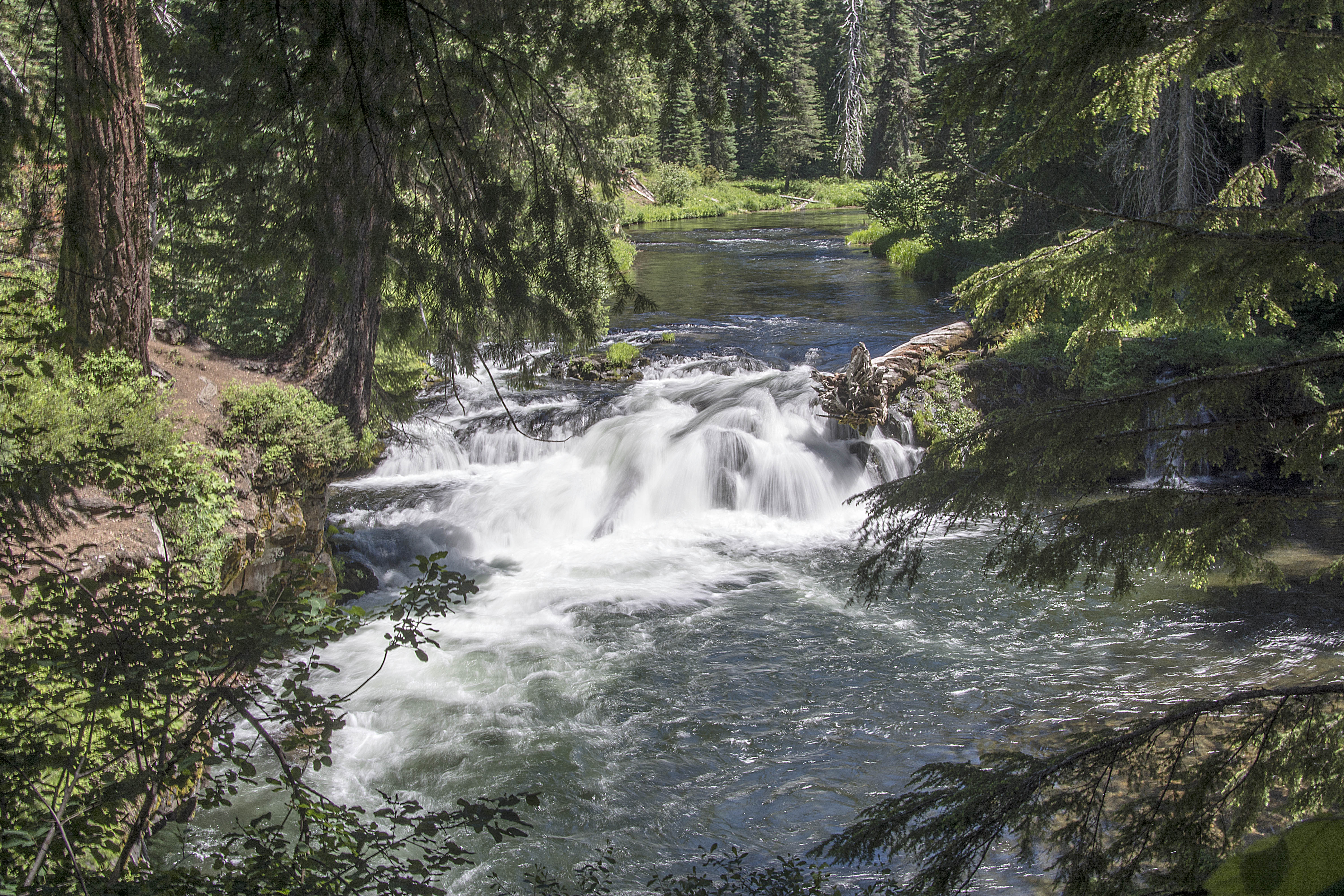
Sandy River at Oxbow State Park
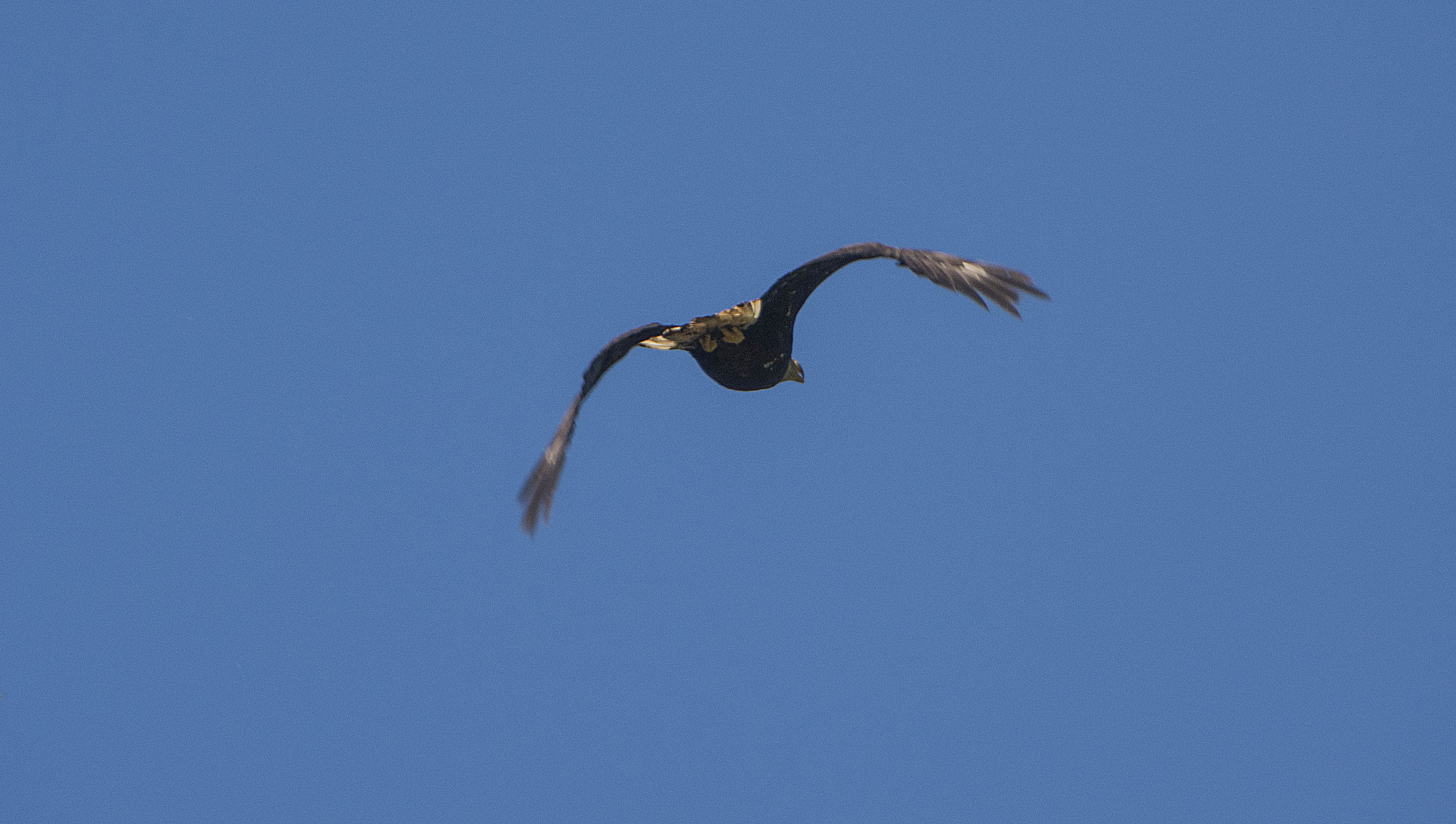
Our first Eagle – taken through the car window!

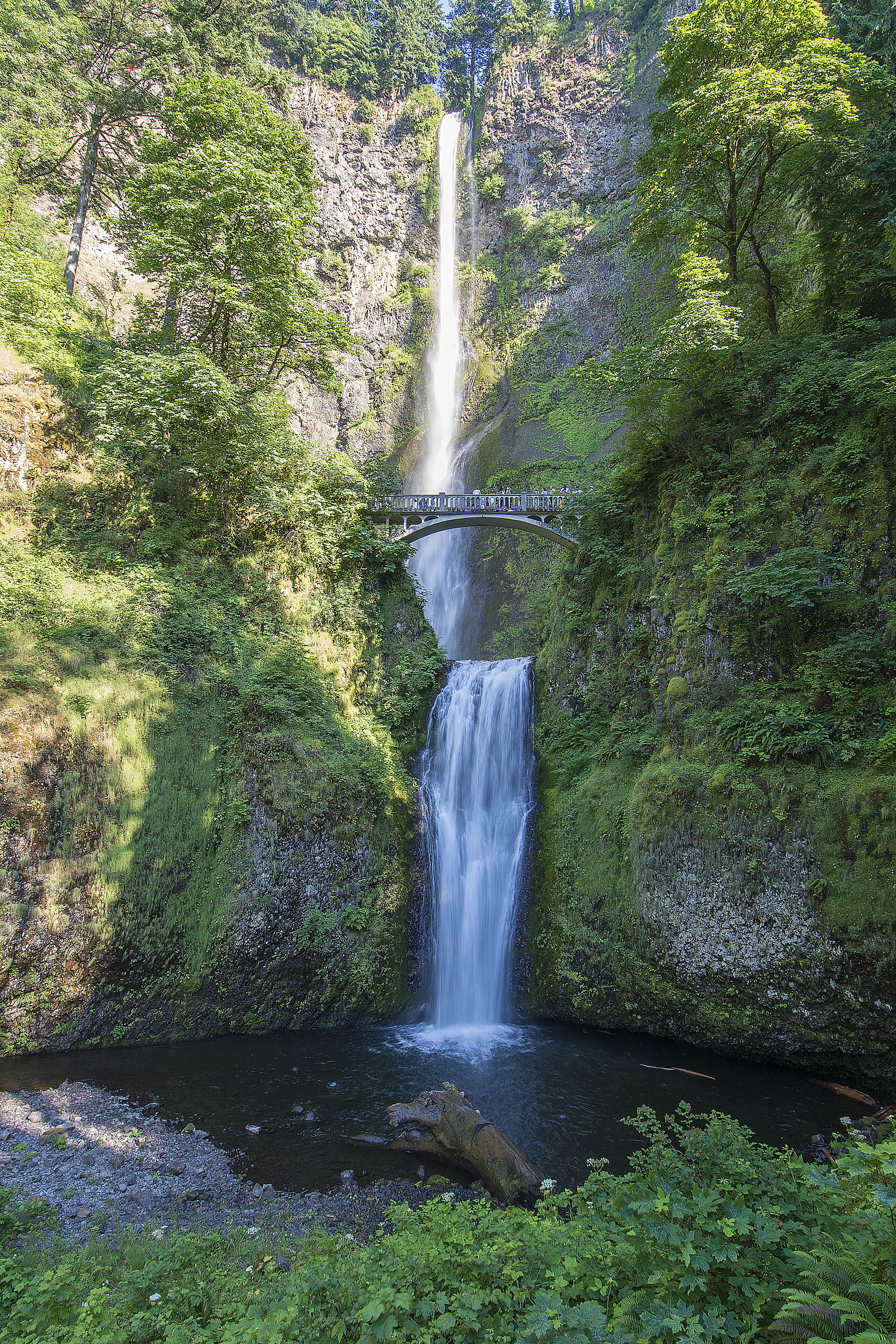
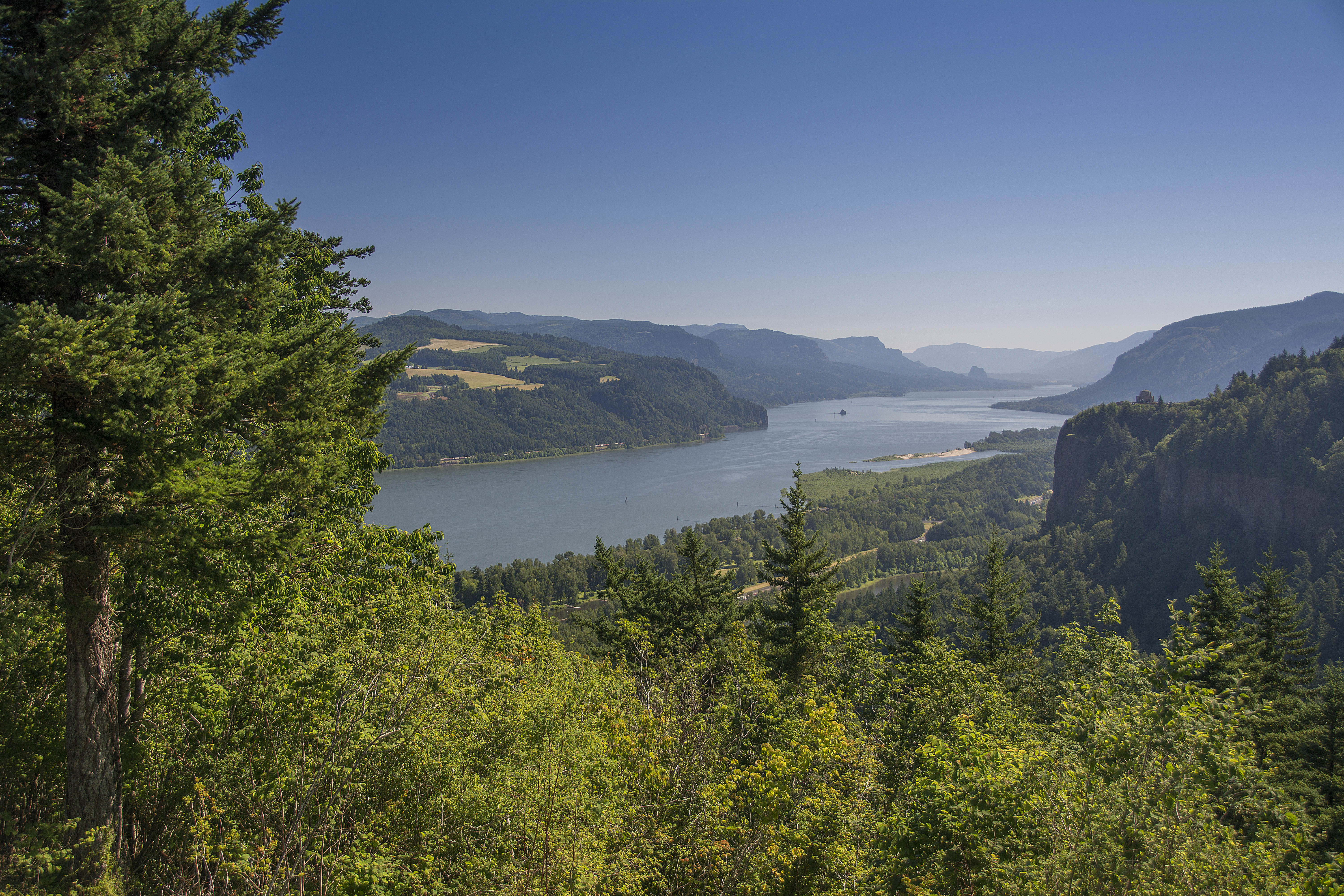
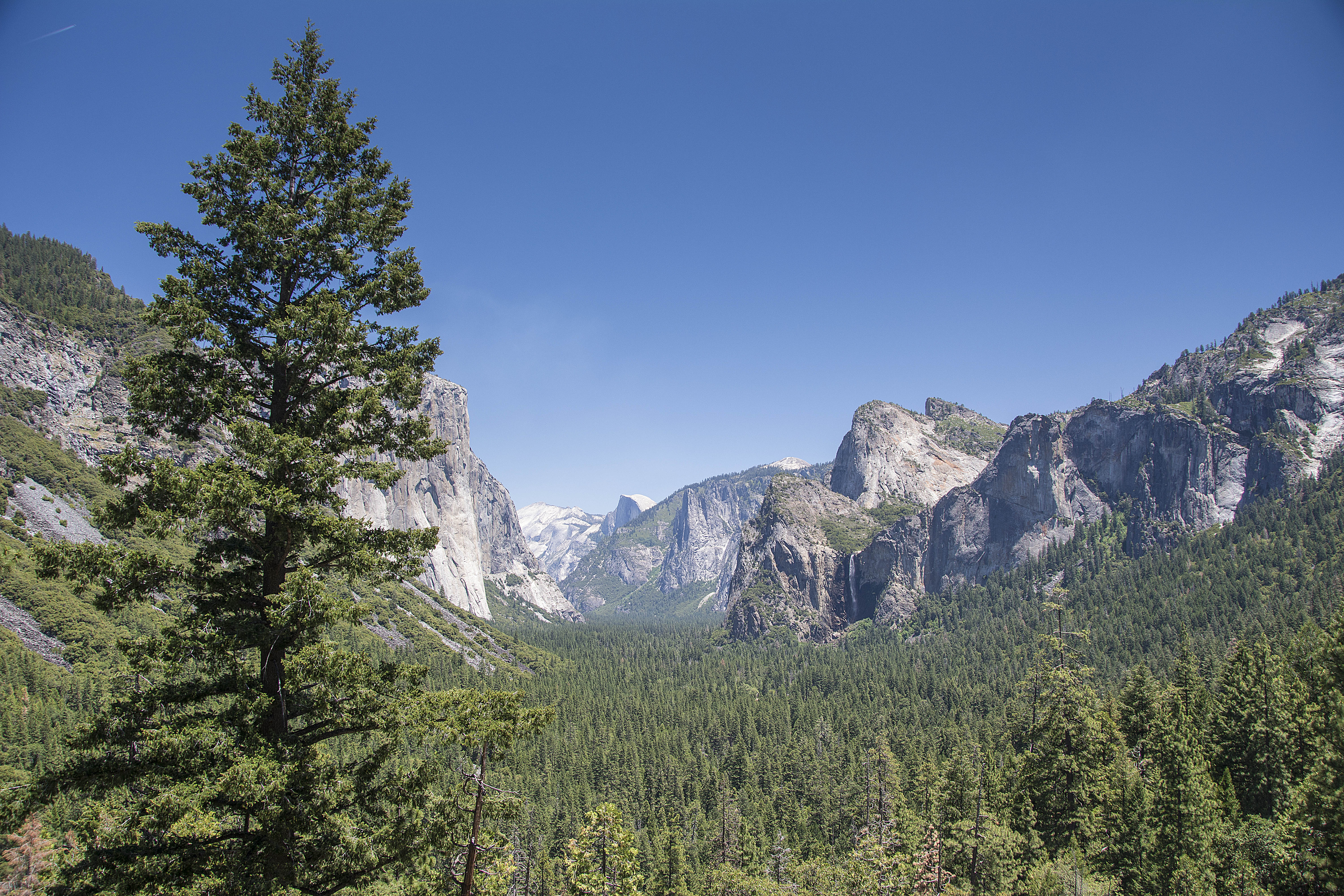
One of Oregon’s beautiful beaches
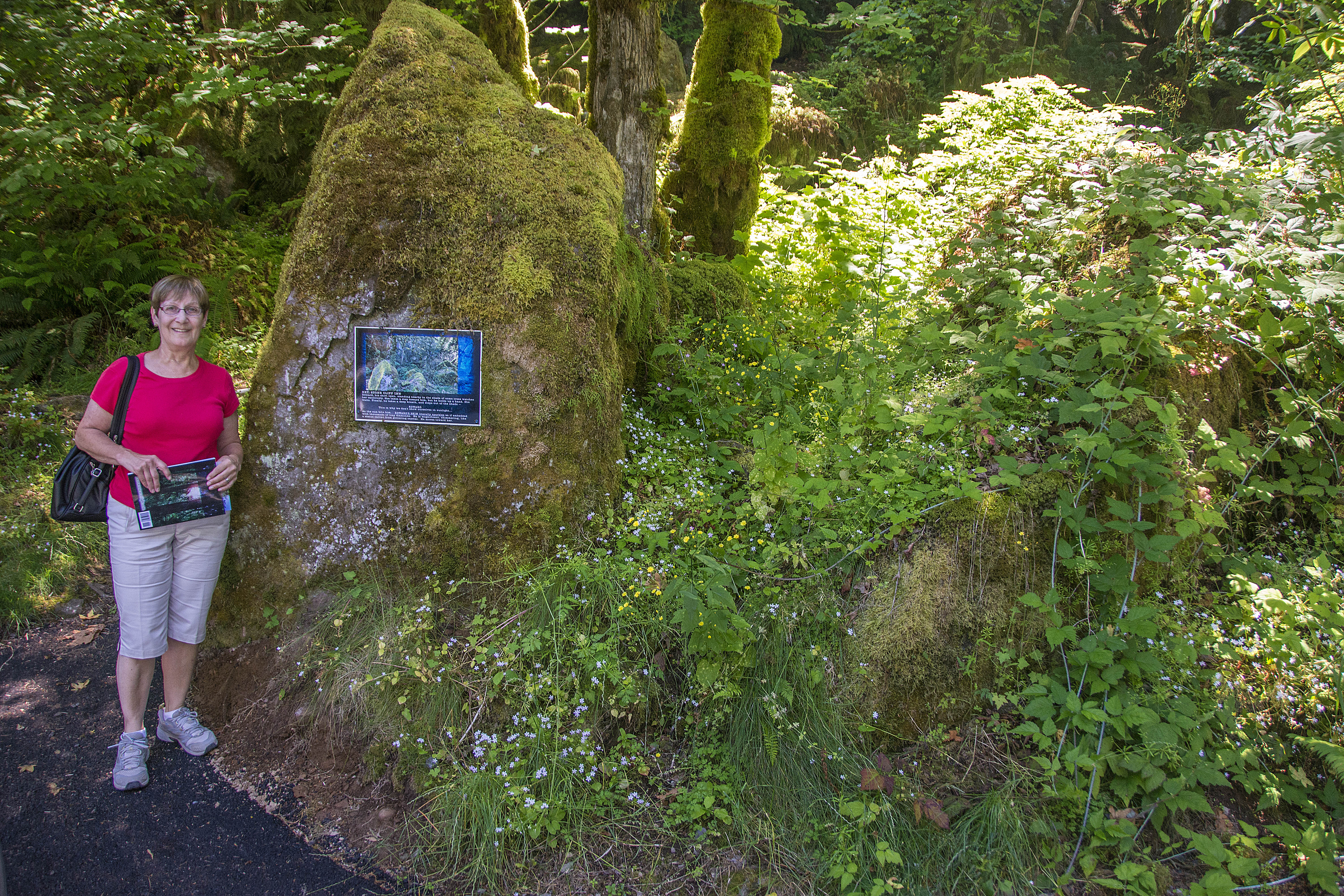
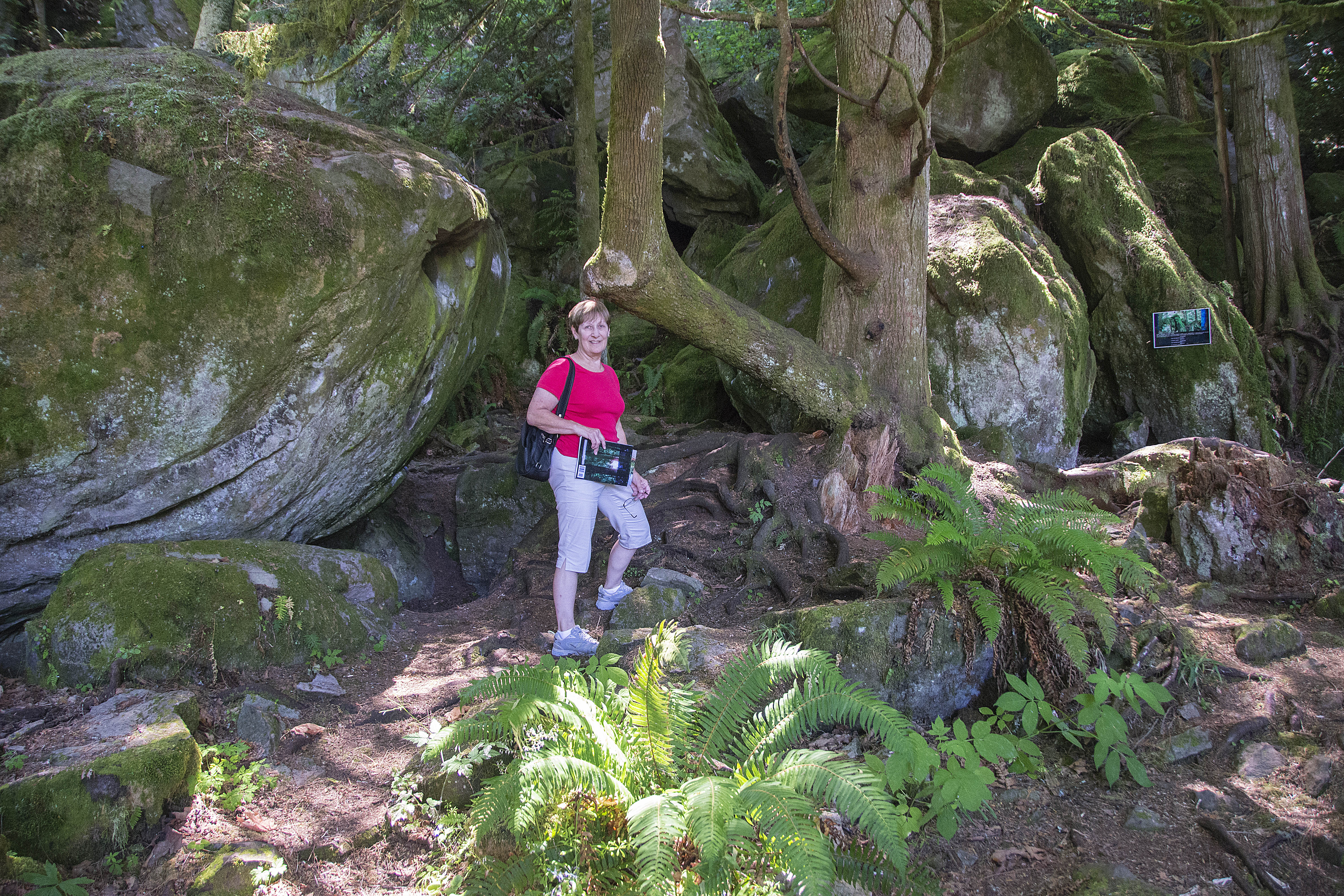
The first thing we did was to drive to Oxbow State Park where the ‘Say it out loud’ scene was filmed. The Ranger directed us to a skinny tree that had a yellow ribbon tied around it and there it was. It amazes me how small the areas are that the different scenes are shot in yet in the films they always look so big. This area was just off the road where people were driving their cars past.
After that it was our intention to go and see the Cullen House but we decided it was too long a journey and we wouldn’t have seen much of the house anyway, because it’s hidden by trees so instead set off for St. Helens.
The first place we visited was Bella’s house. The scenes in Twilight, both inside and outside the house were actually filmed here. It was quite emotional to be stood right there where they all stood and Charlie parked his Police car. One thing made us laugh and that was a notice pinned to the tree addressed to ‘Twilight Fans’. It said that it was private property and requested that people did not go on to the property or peer through the windows (who would do that?) but that they didn’t mind people taking pictures from the street and then closed by wishing people a lovely visit to St. Helens.
We then went to the Bloated Toad Restaurant. This is where Edward took Bella after he saved her in Port Angeles from the group of men and she had mushroom ravioli. Sadly, the restaurant is now closed and the property up for sale.
Our next port of call was going to be Thunderbird and Whale Bookstore where Bella purchased a book about Quileute legends but again, it’s gone. There wasn’t a building that looked like it at all and now at that address there’s a B&B!
We did see a shop called Jilly’s and that was where the wardrobe department bought 36 prom dresses plus lots of other things to decorate a shop called Cuts+ into the Petite Jolie dress shop scene where the girls were trying on dresses for the Prom.
After that we travelled to Kalama High School which in the film was Forks High School, where the parking lot scenes were filmed and where Edward saved Bella from being killed by the truck. As the school is closed for the summer holidays and I didn’t want to be arrested for trespassing, I didn’t go around the back of the building to see the area where Edward follows Bella into the woods by the school for the scene where she tells him she knows what he is ………. a vampire!
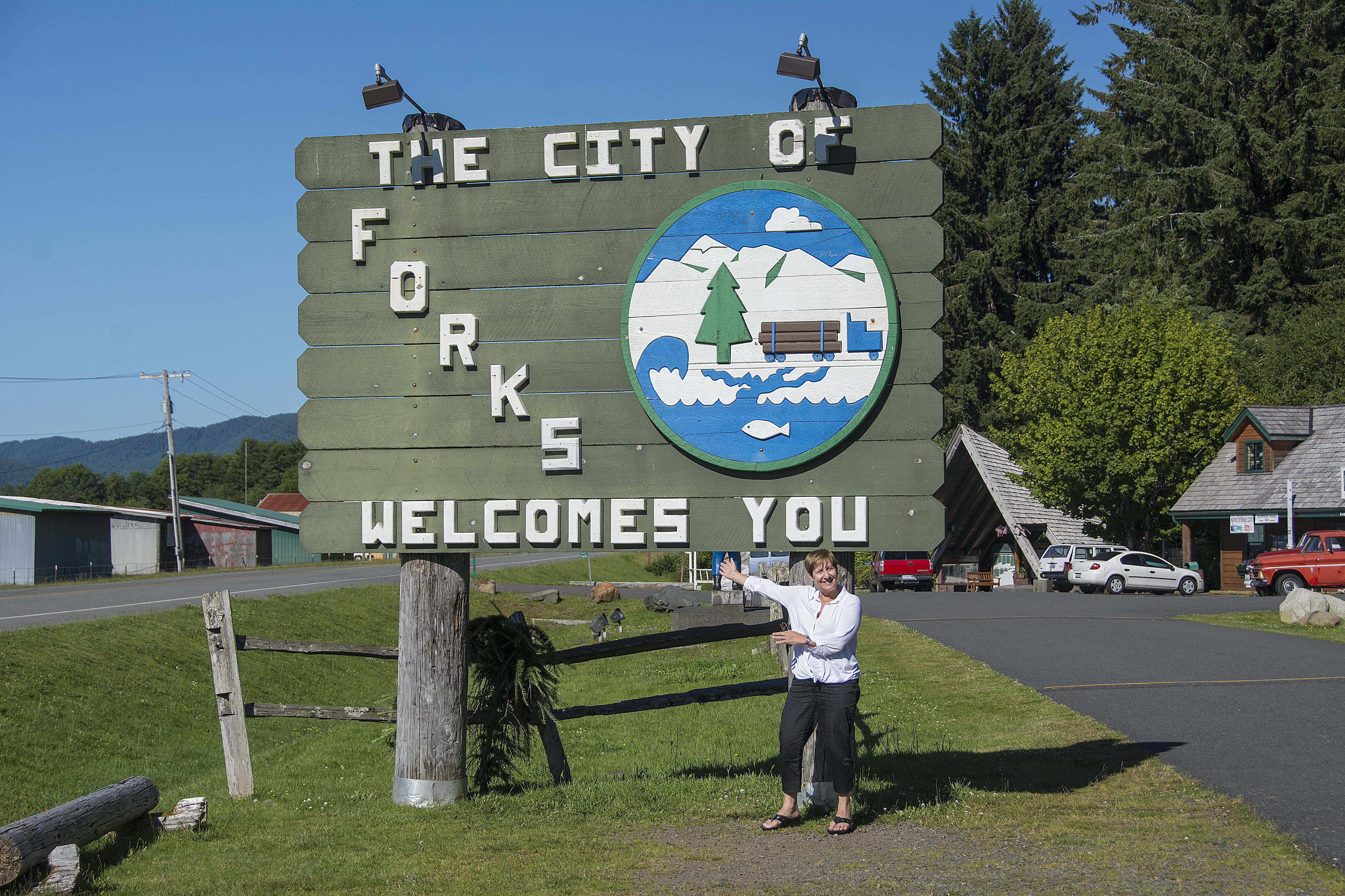
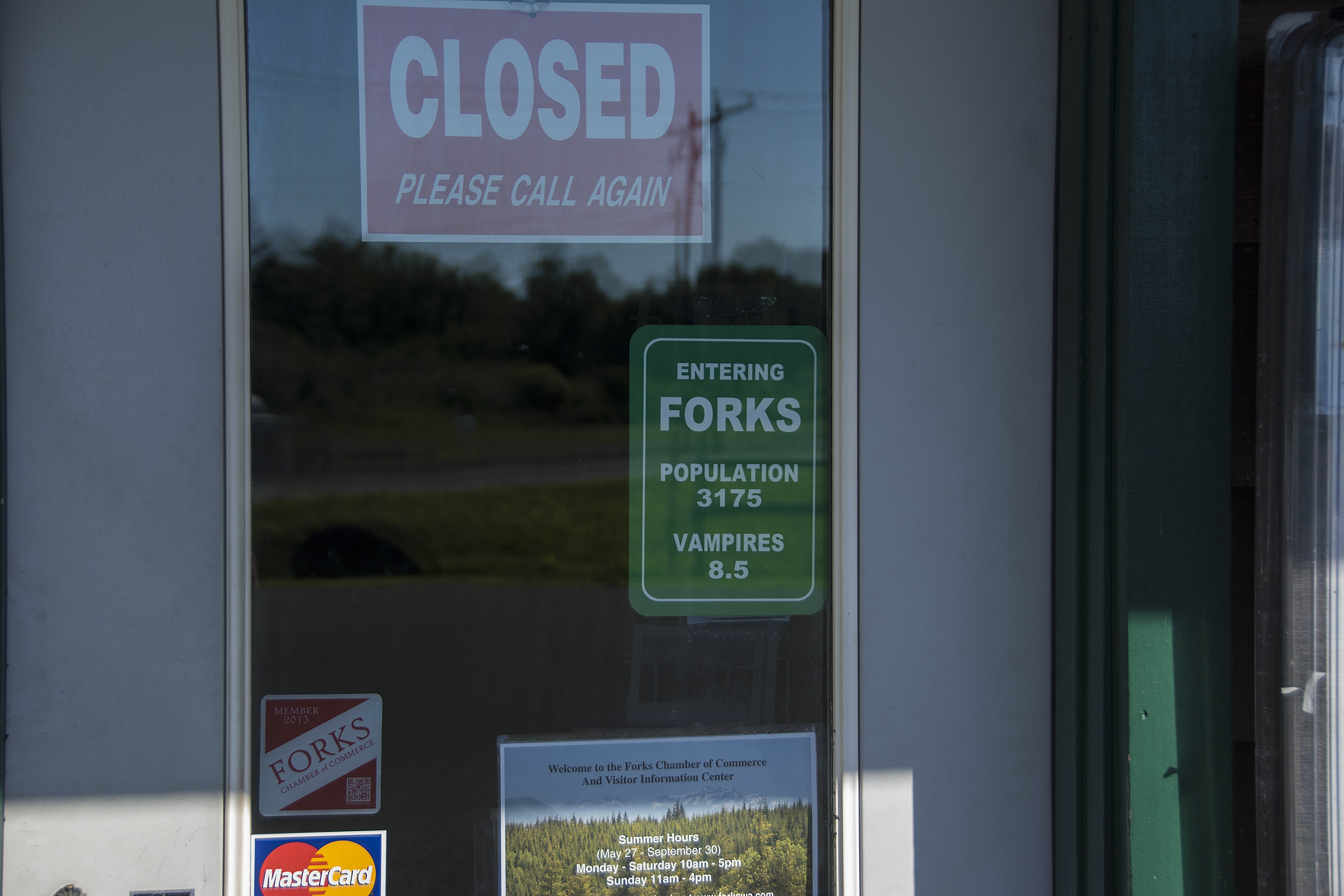
The drive from there to Forks was very pleasant, mostly along roads lined with fir trees and you can imagine my excitement when we entered Forks and there was the ‘Welcome’ sign that is so familiar to all of us Twilight fans. To make it even better, there was Bella’s truck and a funny sign in the window of the Chamber of Commerce
So, we are now staying at the Cullen House in Forks. Of course, this Cullen House represents the one in the book, not the movie version. It’s lovely here and the owners are great. We’ll post pictures tomorrow of the inside and outside of the house but one thing they do have is a miniature version of the graduation caps board.
This is definitely the place to stay for any Twilight fan. Every room has copies of all the books to read and all the DVDs to play. Also, it is left to the individual to decide what name they want to give the room they are staying in. There are all the Cullen names to choose from and today I’ve decided that our room will be known as Alice’s room. Someone else had already called their room, Edward’s and at first I called our’s, Bella’s room, but then I thought that she wouldn’t have her own room because she would be sharing with Edward!! Am I over-thinking this!!!??? I think I may change the name daily for the time we are here!!
Tomorrow we set off on our Forks and La Push adventure!!
The other photos we took today are at the bottom.


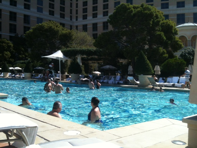
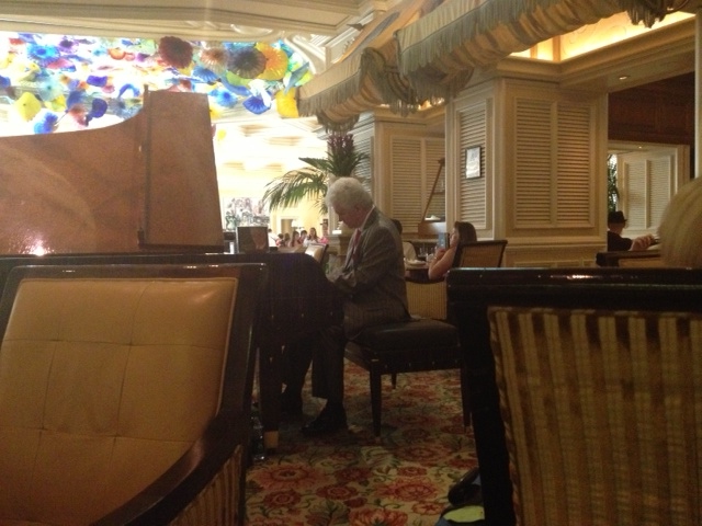


 This afternoon we went Downtown and visited the most famous ‘Gold and Silver Pawn Shop in the World’. For those who don’t know, there is a programme on Sky TV on the History Channel (don’t know if it’s on cable too) called Pawn Stars and it’s about this shop in Vegas owned and run by the Harrison family. They are Richard aka the ‘old man’, his son Rick, Rick’s son Corey and Corey’s friend from school, Chumlee. There’s usually huge queues to get in but we were lucky today and we didn’t have too long to wait. Sadly, we missed them because they were in the shop this morning but this afternoon we were told they were ‘out the back’ filming. Still, it was great to actually be there to see the shop first hand.